Wegenkaart - landkaart Namibië | Infomap (9780620250115)
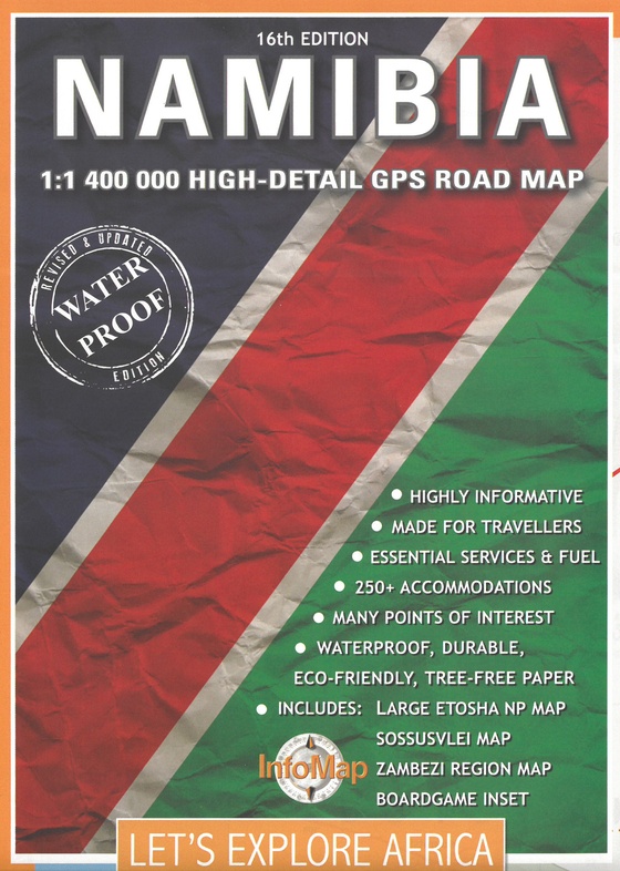
- ISBN / CODE: 9780620250115
- Editie: 2020
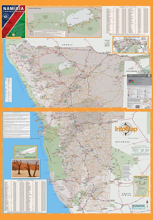
- Schaal: 1:1400000
- Uitgever: Infomap
- Soort: Wegenkaart
- Taal: Engels
- Bindwijze: -
- Uitvoering: Scheur- en watervast
- Schrijf als eerste een review
-
€ 15,95
Op voorraad. Voor 17.00 uur op werkdagen besteld, morgen in huis in Nederland Levertijd Belgie
Gratis verzending in Nederland vanaf €35,-
Beschrijving
Reviews
Geen reviews gevonden voor dit product.
Schrijf een review
Graag horen wij wat u van dit artikel vindt. Vindt u het goed, leuk, mooi, slecht, lelijk, onbruikbaar of erg handig: schrijf gerust alles op! Het is niet alleen leuk om te doen maar u informeert andere klanten er ook nog mee!
Ook interessant voor afrika/namibie
-

Campinggids Trummis Liste – Unterkun
€ 30,95Campinggidsen Namibië -

Wegenkaart - landkaart 3209 Adventur
€ 17,50Wegenkaarten Namibië -

Natuurgids Marine Mammals | Struik N
€ 11,50Natuurgidsen Mozambique -

Reisgids Reise-Handbuch Namibia - Na
€ 28,95Reisgidsen Namibië -

Reisverhaal In Namibië. Kampeerreize
€ 17,95Reisverhalen Namibië