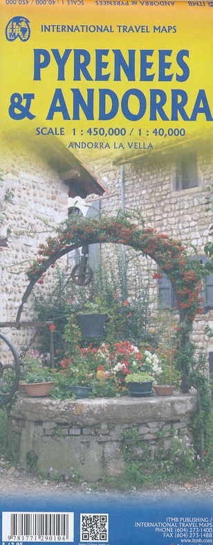
Wegenkaart - landkaart Pyrenees - Andorra (Pyreneeën) | ITMB (9781771290104)
Andorra 1:40.000 - Pyreneeën 1:450.000
- ISBN / CODE: 9781771290104
- Editie: meest recente versie
- Schaal: 1:40000
- Uitgever: ITMB
- Soort: Wegenkaart
- Taal: Engels
- Uitvoering: -
- Bindwijze: -
- Schrijf als eerste een review
-
€ 13,95
Op voorraad. Voor 17.00 uur op werkdagen besteld, morgen in huis in Nederland Levertijd Belgie
Gratis verzending in Nederland vanaf €35,-
Beschrijving
Overzichtskaart van de Pyreneeën (schaal 1:450.000) op de ene kant en op de andere zijde een gedetailleerde kaart van Andorra (1:40.000)
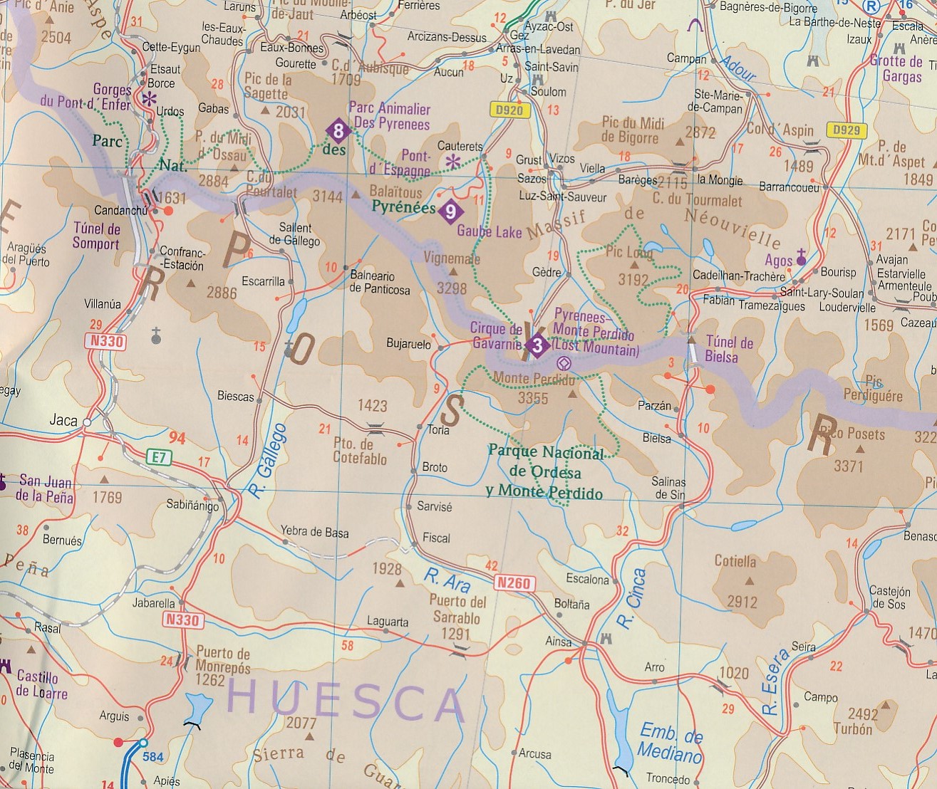
The Pyrenees mountain chain straddling the border between France and Spain on one side, with historic Andorra on other side. As is normal with ITMB maps combining two areas at different scales, the map has two covers, so can be marketed equally well as Andorra or as Pyrenees. Our coverage of Pyrenees goes from the Atlantic to the Mediterranean coastlines Legend includes: roads by classification, international airports, domestic airports, ports, ruins, historic/archeological, hot springs, forts, lighthouses, national parks, world heritages, mountain peaks, spot heights, universities, oil fields, point of interests, beaches, camping sites, churches, viewpoints, mosques, passes, caves, border crossings, mines, hospitals and much more.
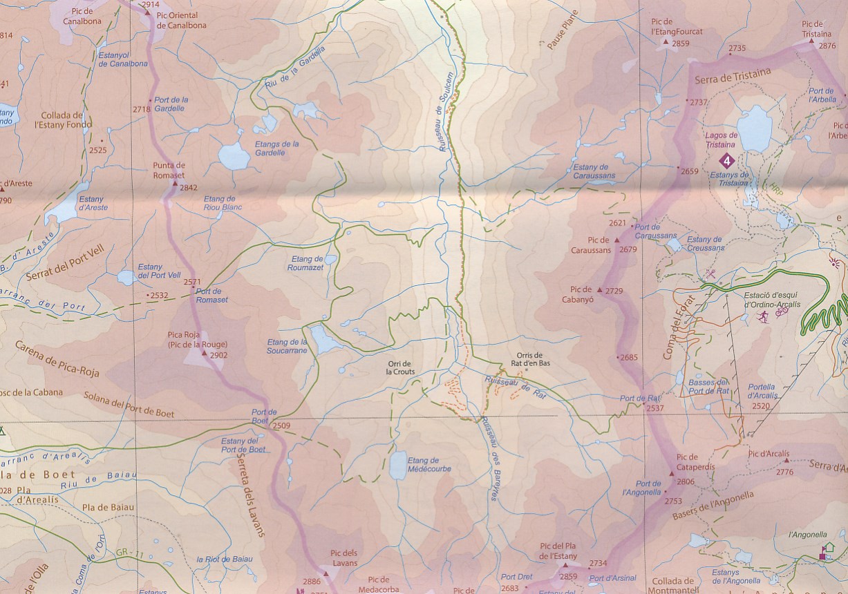
Detailed travel map of Andorra shows roads from national highways to unpaved tracks; pedestrian paths and trails; railways; attractions; summits with altitude in meters; settlements; isolated buildings; sports fields; swimming pools; parking; hospitals; scenic vistas; Alpine huts; refuges; mountaineering, climbing, and absailing (cliff descent); Grand Randonee hiking trail; skiing; mountain biking; kayaking; camping; hotels; museums; interesting buildings; tourist information; more. Color changes show elevations. Index of places. Printed on one side. With city map of Andorra la Vella. Main map scale 1:40,000.
Reviews
Geen reviews gevonden voor dit product.
Schrijf een review
Graag horen wij wat u van dit artikel vindt. Vindt u het goed, leuk, mooi, slecht, lelijk, onbruikbaar of erg handig: schrijf gerust alles op! Het is niet alleen leuk om te doen maar u informeert andere klanten er ook nog mee!
Ook interessant voor europa/andorra
-

Wandelkaart Cami de Retrobament - Al
€ 16,95Wandelkaarten Pyreneeën -

Natuurgids Veldgids Europese Zoogdie
€ 39,95Natuurgidsen Albanië -

Wegenkaart - landkaart Liechtenstein
€ 14,95Wegenkaarten ♦ Bodensee en omgeving -

Wandelgids 1098 Par dela les Frontie
€ 19,95Wandelgidsen Pyreneeën -

Campinggids Europese Campinggids 202
€ 14,95Campinggidsen Andorra