Stadsplattegrond München | Freytag & Berndt (9783850841245)
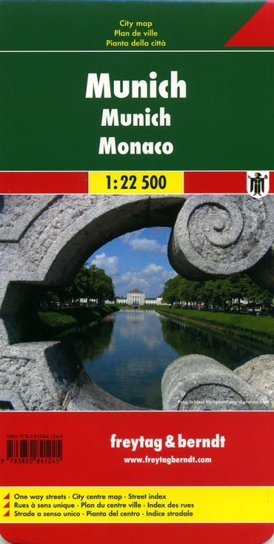
- ISBN / CODE: 9783850841245
- Schaal: 1:22500
- Uitgever: Freytag & Berndt
- Soort: Stadsplattegrond
- Taal: Engels, Duits
- Schrijf als eerste een review
-
€ 13,95
Leverbaar in 3 - 5 werkdagen in huis in Nederland Levertijd Belgie
Gratis verzending in Nederland vanaf €35,-
Beschrijving
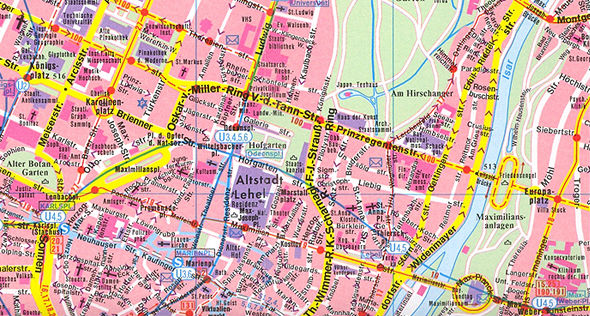
Stadsplattegrond met register. Helder kaartbeeld waarbij de naamgeving goed leesbaar is weergegeven. Met de toeristische bezienswaardigheden in symbolen weergeven: monumenten, musea, stadions e.a. Daarnaast handige zaken als postkantoren, parkeergarages en stations. Veelal ook met een openbaar vervoer of metro kaart als inzet
Reviews
Geen reviews gevonden voor dit product.
Schrijf een review
Graag horen wij wat u van dit artikel vindt. Vindt u het goed, leuk, mooi, slecht, lelijk, onbruikbaar of erg handig: schrijf gerust alles op! Het is niet alleen leuk om te doen maar u informeert andere klanten er ook nog mee!
Ook interessant voor europa/duitsland/munchen
-

Fietsgids Bikeline Rund um München |
€ 16,50Fietsgidsen Beieren -

Reisgids München | Baedeker Reisgids
€ 24,95Reisgidsen München -

Wegenkaart - landkaart 43 Marco Polo
€ 11,50Wegenkaarten Beieren -

Stadsplattegrond Munchen - Munich |
€ 10,25Stadsplattegronden München -

Wandelkaart 184 München | Kompass
€ 14,50Wandelkaarten Beieren