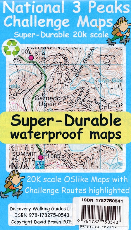
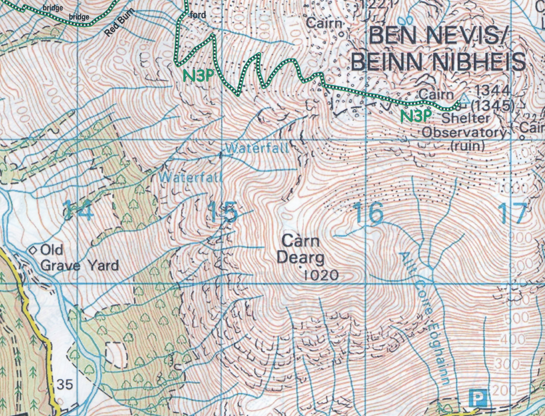
Wandelkaart National 3 Peaks Challenge Map | Discovery Walking Guides (9781782750543)
- ISBN / CODE: 9781782750543
- Schaal: 1:20000
- Uitgever: Discovery Walking Guides
- Soort: Wandelkaart
- Serie: Challenge Map
- Taal: Engels
- Bindwijze: -
- Uitvoering: -
- Schrijf als eerste een review
-
€ 15,95
Op voorraad. Voor 17.00 uur op werkdagen besteld, morgen in huis in Nederland Levertijd Belgie
Gratis verzending in Nederland vanaf €35,-
Beschrijving
Goede scheur- en watervaste wandelkaart.
Reviews
Geen reviews gevonden voor dit product.
Schrijf een review
Graag horen wij wat u van dit artikel vindt. Vindt u het goed, leuk, mooi, slecht, lelijk, onbruikbaar of erg handig: schrijf gerust alles op! Het is niet alleen leuk om te doen maar u informeert andere klanten er ook nog mee!
Ook interessant voor europa/engeland/lake-district
-

Klimgids - Klettersteiggids Winter C
€ 34,95Klimgids - Klettersteiggidsen Ben Nevis - Glen Coe - Fort William -

Wandelkaart - Topografische kaart 37
€ 19,50Topografische kaarten Ben Nevis - Glen Coe - Fort William -

Reisgids Snowdonia & North Wales | R
€ 13,95Reisgidsen Wales -

Wandelgids Wales: The Ceredigion and
€ 18,50Wandelgidsen Wales -

Wandelgids 50 Walks in Snowdonia and
€ 19,95Wandelgidsen Wales