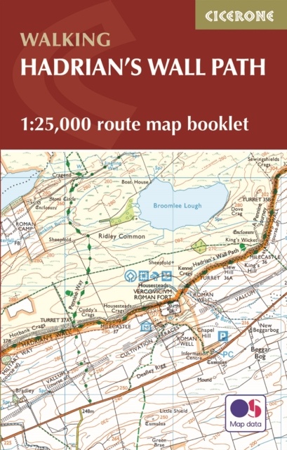
Wandelatlas Hadrian's Wall Path Map Booklet | Cicerone (9781786311511)
gebonden boekje met gedetailleerde kaarten
- ISBN / CODE: 9781786311511
- Editie: 2023
- Aantal blz.: 54
- Schaal: 1:25000
- Auteur(s): MARK. RICHARDS
- Uitgever: Cicerone
- Soort: Wandelatlas
- Taal: Engels
- Bindwijze: Paperback
- Uitvoering: -
- Schrijf als eerste een review
-
€ 17,95
Op voorraad. Voor 17.00 uur op werkdagen besteld, morgen in huis in Nederland Levertijd Belgie
Gratis verzending in Nederland vanaf €35,-
Beschrijving
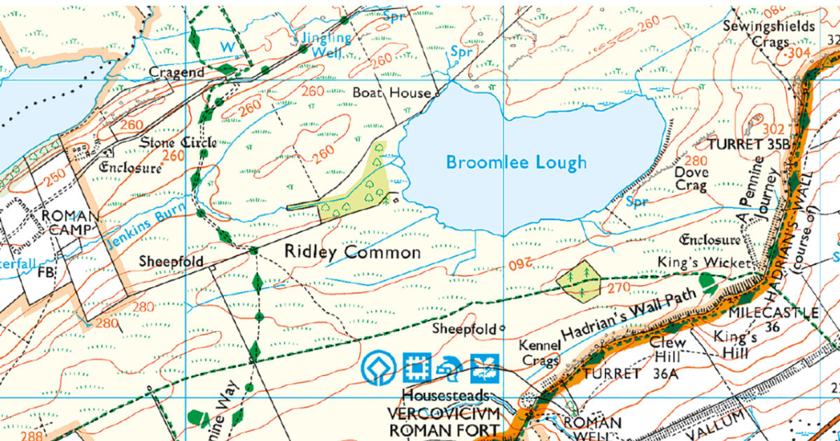
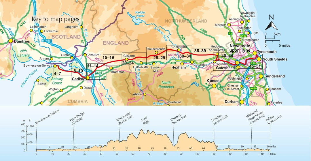
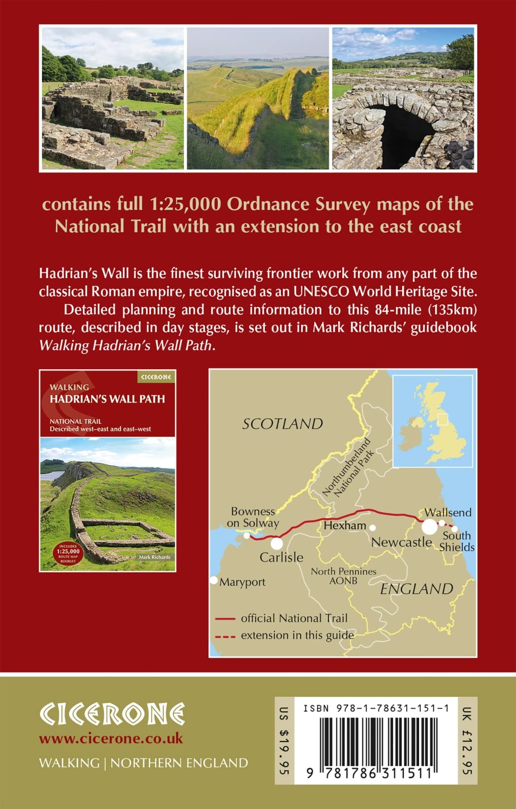
All the mapping you need to walk the 84 mile (135km) Hadrian's Wall Path from Bowness-on-Solway in Cumbria to Wallsend, Newcastle. This booklet of Ordnance Survey 1:25,000 Explorer maps has been designed for convenient use on the trail. It shows the full and up-to-date line of the Hadrian's Wall Path, along with the relevant extract from the OS Explorer map legend. It can be used when walking the trail west-east or east-west, and includes an extension to the east coast at South Shields. It is conveniently sized for slipping into a jacket pocket or top of a rucksack. This booklet is included with the Cicerone guidebook to Hadrian's Wall Path National Trail.
Reviews
Geen reviews gevonden voor dit product.
Schrijf een review
Graag horen wij wat u van dit artikel vindt. Vindt u het goed, leuk, mooi, slecht, lelijk, onbruikbaar of erg handig: schrijf gerust alles op! Het is niet alleen leuk om te doen maar u informeert andere klanten er ook nog mee!
Ook interessant voor europa/engeland/north-east-england
-

Wandelkaart - Topografische kaart OL
€ 19,50Topografische kaarten North West England -

Wandelgids Hadrian's Wall Path | Cic
€ 24,95Wandelgidsen North East England -

Wegenkaart - landkaart Nord- und Mit
€ 13,95Wegenkaarten North East England -

Fietsgids Hadrian's Cycleway | Cicer
€ 16,50Fietsgidsen North East England -

Reisgids Trotter Noord-Engeland en W
€ 19,99Reisgidsen North East England