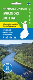
Wandelkaart Hammastunturi Ivalojoki Juutua | Karttakeskus (9789522666734)
- ISBN / CODE: 9789522666734
- Editie: 19-07-2021
- Druk: 1
- Aantal blz.: 1
- Schaal: 1:50000
- Uitgever: Karttakeskus
- Soort: Wandelkaart
- Serie: Outdoor map
- Taal: Engels, Fins
- Hoogte: 22.0 cm
- Breedte: 10.0 cm
- Gewicht: 66.0 g
- Uitvoering: Scheur- en watervast
- Bindwijze: -
- Schrijf als eerste een review
-
€ 22,95
Leverbaar in 3 - 5 werkdagen in huis in Nederland Levertijd Belgie
Gratis verzending in Nederland vanaf €35,-
-
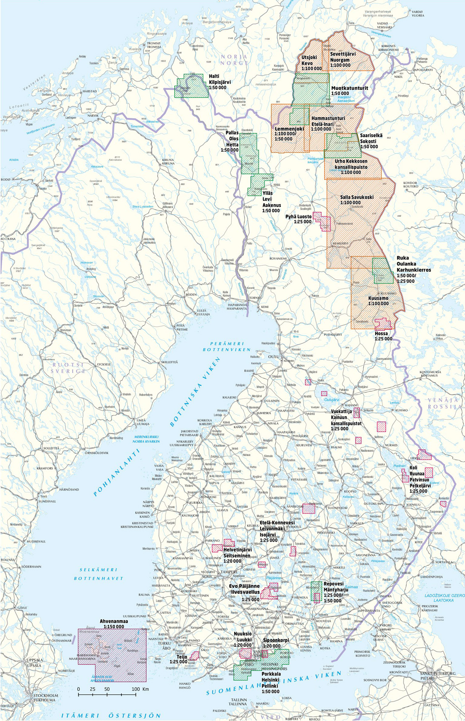
Outdoor kaarten Finland | Karttakeskus


Producten op deze overzichtskaart:
Klik op een product om naar de pagina van dat product te gaan.
- Wandelkaart Etela-Konnevesi Leivonmaki | Karttakeskus
- Wandelkaart Halti Kilpisjärvi | Karttakeskus
- Wandelkaart Hammastunturi Ivalojoki Juutua | Karttakeskus
- Wandelkaart Helvetinjärvi Seitseminen | Karttakeskus
- Wandelkaart Hossa | Karttakeskus
- Wandelkaart Kuusamo | Karttakeskus
- Wandelkaart Lemmenjoki | Karttakeskus
- Wandelkaart Nuuksio Luukki | Karttakeskus
- Wandelkaart Pyha Luosto | Karttakeskus
- Wandelkaart Repovesi Mäntyharju | Karttakeskus
- Wandelkaart Ruka Oulanka Karhunkierros | Karttakeskus
- Wegenkaart - landkaart Sevettijärvi Nuorgam | Karttakeskus
- Wandelkaart Teijo | Karttakeskus
- Wandelkaart Teijo Kurjenrahka | Karttakeskus
- Wandelkaart Vuokatti ja Kainuun kansallispuistot | Karttakeskus
- Wandelkaart Ylläs Levi Aakenus | Karttakeskus
Overzichtskaarten
Beschrijving
Van de uitgever
The revised map presents the Hammastunturi wilderness and its surroundings on a more accurate scale than before at 1:50,000 (1 cm on the map is 500 m in terrain). The map is printed on water-resistant material. You can recognize our durable domestic outdoor maps by the yellow marking on the cover, and they are packed in a cardboard box.The outdoor map covers the Hammastunturi wilderness area, the gold lands of Ivalojoki and the areas of Juutua and Pielpajärvi. The map shows, among others, Ivalo, Inari church village, Menesjärvi, Kuttura and Saariselä tourism center. There are marked hiking trails and tracks in the area, as well as many fells and forest for those who walk their own paths. Snowmobile trails and kayaking routes are also marked on the map.
The material of the map is completely waterproof and withstands almost unlimited folding, and it does not tear easily in normal map use. The properties are preserved even in cold and hot weather. The map is pleasant to the touch and lighter than printed on paper.
In addition to terrain information, routes and other camping services as well as places to eat and stay are marked on the map. The border of the map also contains information about the settlement and the coordinates of all the shelters in the area.
Reviews
Geen reviews gevonden voor dit product.
Schrijf een review
Graag horen wij wat u van dit artikel vindt. Vindt u het goed, leuk, mooi, slecht, lelijk, onbruikbaar of erg handig: schrijf gerust alles op! Het is niet alleen leuk om te doen maar u informeert andere klanten er ook nog mee!


