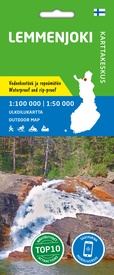
Wandelkaart Lemmenjoki | Karttakeskus (9789522667281)
- ISBN / CODE: 9789522667281
- Editie: 01-03-2022
- Aantal blz.: 1
- Schaal: 1:100000
- Uitgever: Karttakeskus
- Soort: Wandelkaart
- Serie: Outdoor map
- Taal: Engels
- Hoogte: 22.0 cm
- Breedte: 10.0 cm
- Gewicht: 54.0 g
- Bindwijze: -
- Uitvoering: Scheur- en watervast
- Schrijf als eerste een review
-
€ 22,95
Leverbaar in 3 - 5 werkdagen in huis in Nederland Levertijd Belgie
Gratis verzending in Nederland vanaf €35,-
-
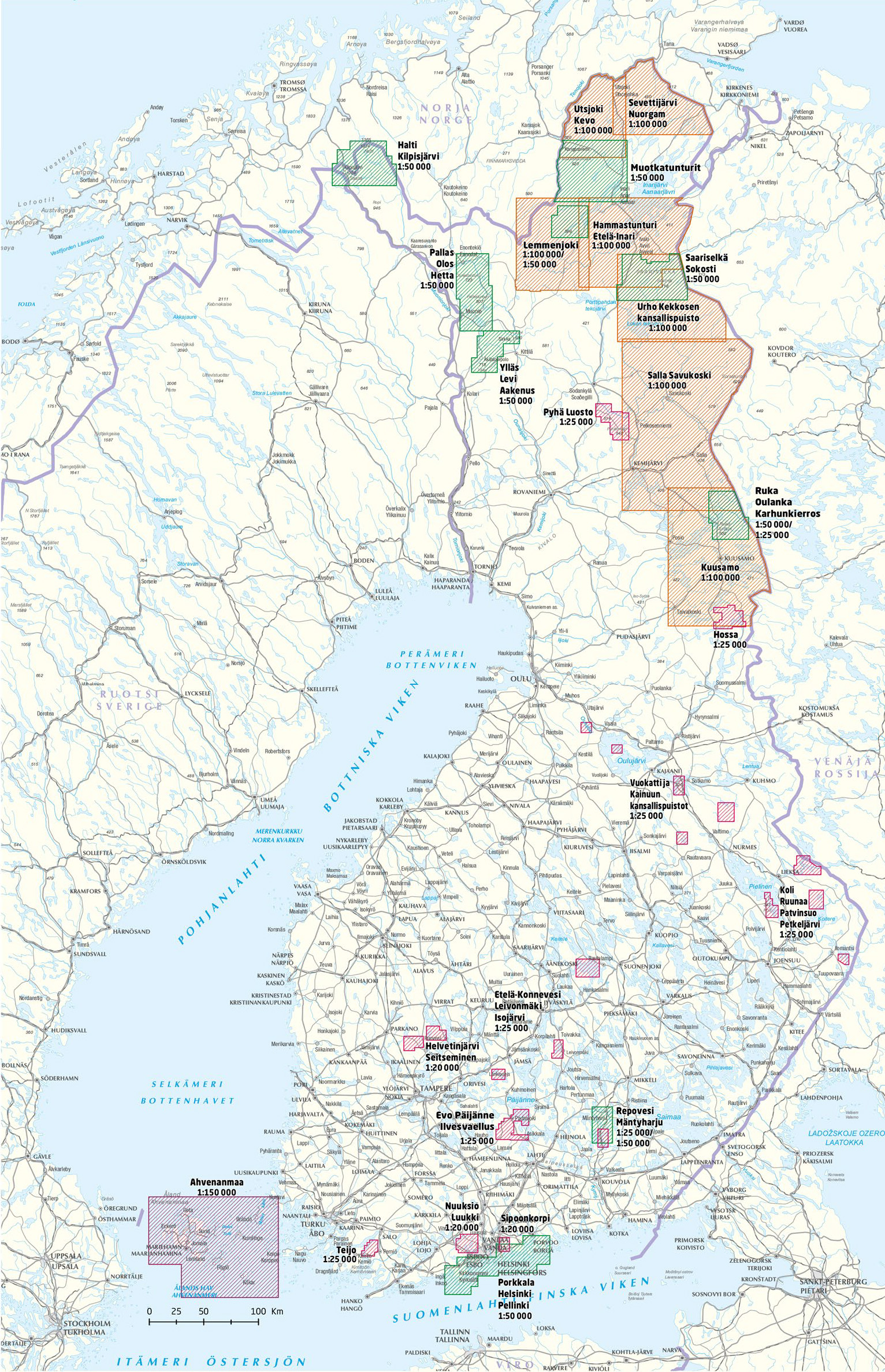
Outdoor kaarten Finland | Karttakeskus


Producten op deze overzichtskaart:
Klik op een product om naar de pagina van dat product te gaan.
- Wandelkaart Etela-Konnevesi Leivonmaki | Karttakeskus
- Wandelkaart Halti Kilpisjärvi | Karttakeskus
- Wandelkaart Hammastunturi Ivalojoki Juutua | Karttakeskus
- Wandelkaart Helvetinjärvi Seitseminen | Karttakeskus
- Wandelkaart Hossa | Karttakeskus
- Wandelkaart Kuusamo | Karttakeskus
- Wandelkaart Lemmenjoki | Karttakeskus
- Wandelkaart Nuuksio Luukki | Karttakeskus
- Wandelkaart Pyha Luosto | Karttakeskus
- Wandelkaart Repovesi Mäntyharju | Karttakeskus
- Wandelkaart Ruka Oulanka Karhunkierros | Karttakeskus
- Wegenkaart - landkaart Sevettijärvi Nuorgam | Karttakeskus
- Wandelkaart Teijo | Karttakeskus
- Wandelkaart Teijo Kurjenrahka | Karttakeskus
- Wandelkaart Vuokatti ja Kainuun kansallispuistot | Karttakeskus
- Wandelkaart Ylläs Levi Aakenus | Karttakeskus
Overzichtskaarten
Beschrijving
Van de uitgever
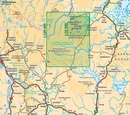
Lemmenjoki National Park at 1:100,000 in a series of beautiful and informative maps of Finland’s most popular outdoor leisure areas with cartography of the country’s topographic survey. Excellent use of colours, shading and symbols provides a very detailed picture of the terrain and vegetation. Extensive overprint highlights routes for hiking, and/or other outdoor pursuits, a wide variety of accommodation, from hotels and holiday villages to Lapland tepees, food and fuel supplies, etc. The maps have a UTM grid and margin ticks for latitude and longitude. Map legends include English.IN THIS TITLE: hiking/skiing map of the Lemmenjoki National Park in northern Finland. Contours are at 10m intervals, with relief shading and colouring/symbols indicating different types of terrain and vegetation. An overprint highlights hiking trails and ski routes, as well as various types of accommodation (hotels, holiday camps, campsites, huts, etc.), restaurants and shopping facilities, petrol stations, etc. The map has a UTM grid and margin ticks for latitude and longitude in steps of 15'. Map legend includes English.
Reviews
Geen reviews gevonden voor dit product.
Schrijf een review
Graag horen wij wat u van dit artikel vindt. Vindt u het goed, leuk, mooi, slecht, lelijk, onbruikbaar of erg handig: schrijf gerust alles op! Het is niet alleen leuk om te doen maar u informeert andere klanten er ook nog mee!


