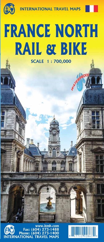
Spoorwegenkaart France North Rail & Bike Travel - Noord Frankrijk | ITMB (9781771292863)
- ISBN / CODE: 9781771292863
- Schaal: 1:700000
- Uitgever: ITMB
- Soort: Spoorwegenkaart
- Taal: Engels
- Uitvoering: scheur- en watervast
- Schrijf als eerste een review
-
€ 13,95
Op voorraad. Voor 17.00 uur op werkdagen besteld, morgen in huis in Nederland Levertijd Belgie
Gratis verzending in Nederland vanaf €35,-
Beschrijving
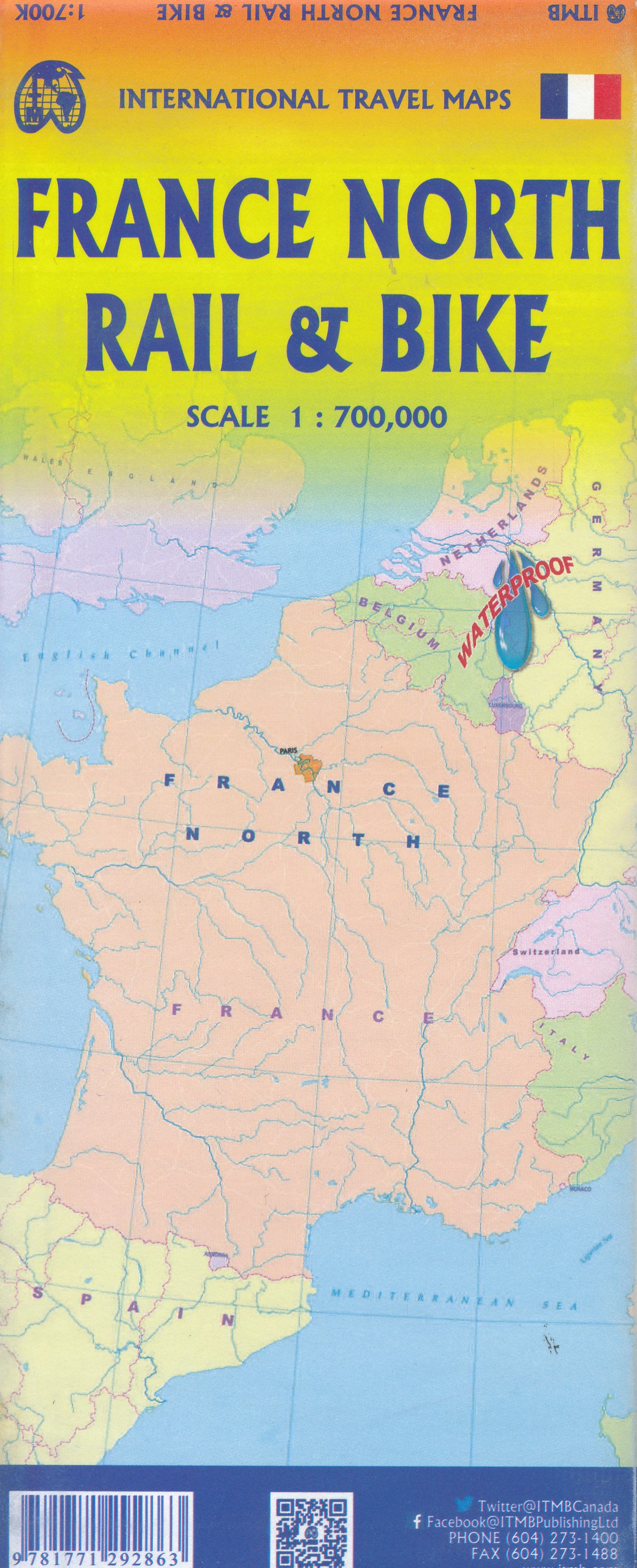
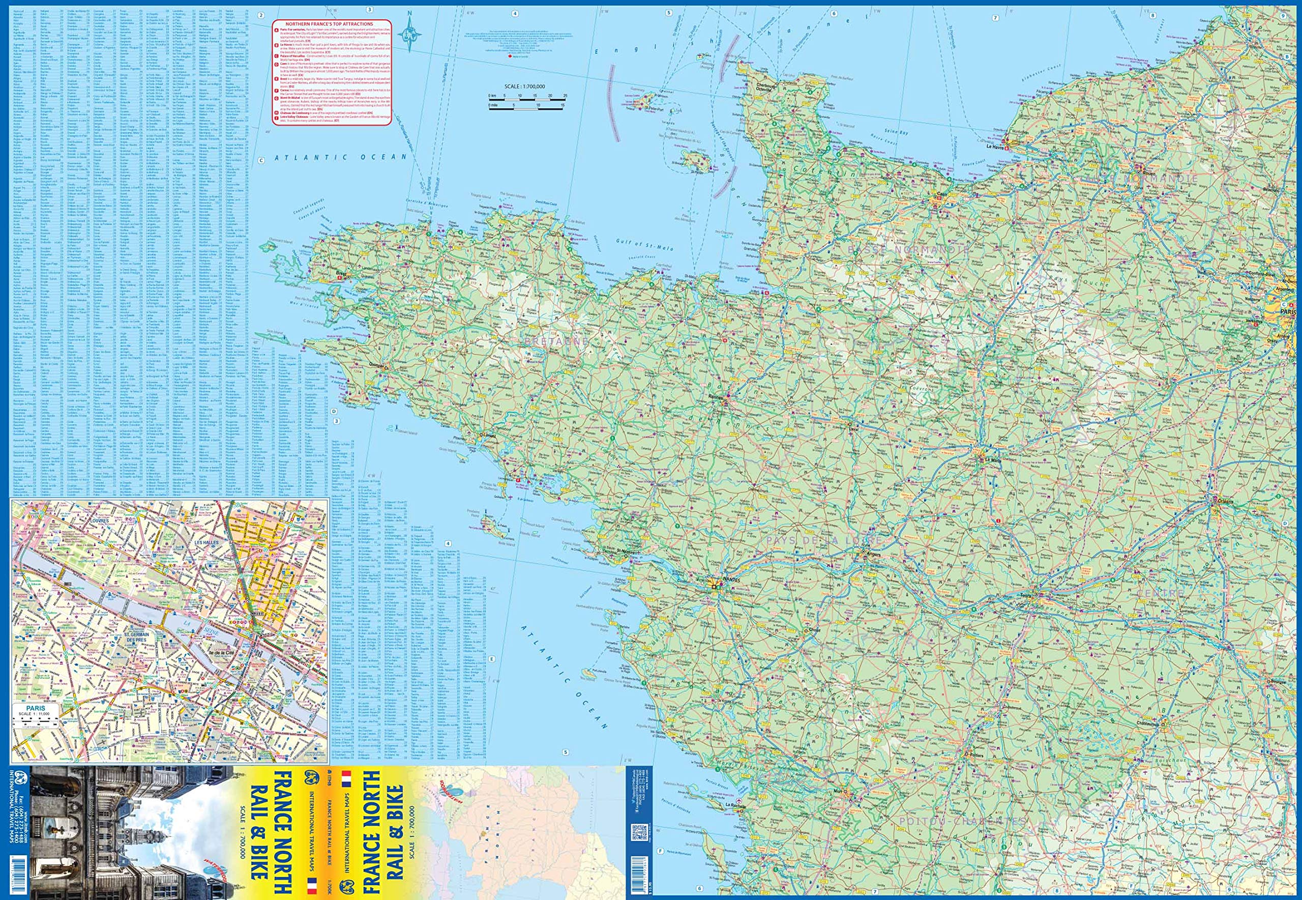
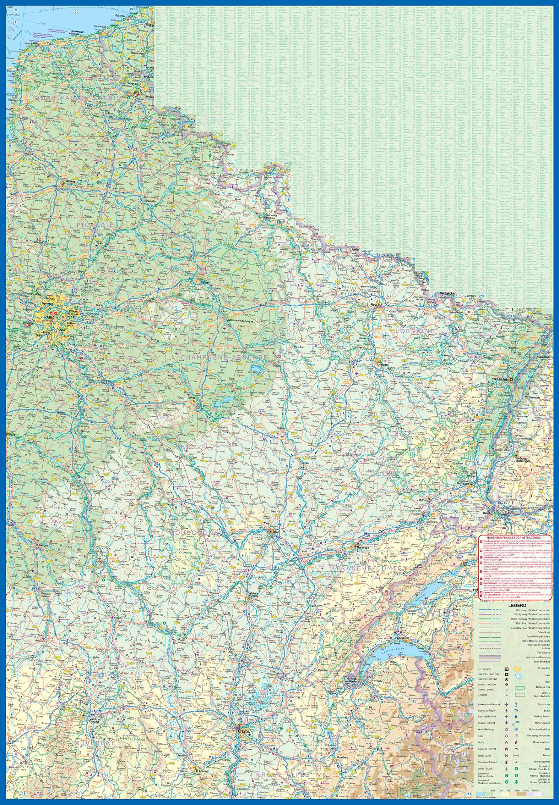
The northern half of France is fairly flat, making it an ideal area for biking. However, it is also a rather large area, covering several provinces of France, so we have combined rail access with biking. All the motorways and main highways are also shown, so this map is ideal for someone wanting to drive to, say, Brittany, and bike during their stay in the Breton peninsula. Side 1 covers Normandy, Brittany, the Loire, and the Poitou region west of Paris. Side 2 covers all of northern France from Calais to Strasbourg and south to Lyon. Small adjacent portions of Switzerland and Italy are included. A Top 9 Attractions list is included. France South was published a little while ago, so the entire country is now available in detail. The map is printed on waterproof stone paper for durability. Legend Includes: Roads by classification, Rivers and Lakes, National Park, Airports, Points of Interests, Highways, Main Roads, Zoos, Fishing, and much more...
Reviews
Geen reviews gevonden voor dit product.
Schrijf een review
Graag horen wij wat u van dit artikel vindt. Vindt u het goed, leuk, mooi, slecht, lelijk, onbruikbaar of erg handig: schrijf gerust alles op! Het is niet alleen leuk om te doen maar u informeert andere klanten er ook nog mee!
Ook interessant voor europa/frankrijk
-

Reisverhaal Onbegaande paden in Fran
€ 9,00Reisverhalen Frankrijk -

Wegenkaart - landkaart France - Fran
€ 14,95Wegenkaarten Frankrijk -

Campinggids Frankrijk FFCC 2024 | Ed
€ 14,95Campinggidsen Frankrijk -

Reisgids France - Frankrijk | Lonely
€ 24,95Reisgidsen Frankrijk -

Accommodatiegids - Bed and Breakfast
€ 24,50Accommodatiegidsen Frankrijk