Winkelwagen
Geen items in winkelwagen
Ga naar winkelwagen
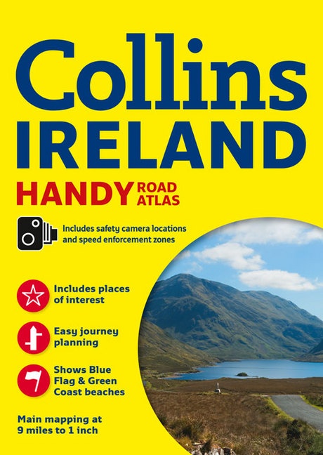
Wegenatlas - Atlas Ireland Handy Road Atlas | Collins (9780008158644)
- ISBN / CODE: 9780008158644
- Aantal blz.: 64
- Schaal: 1:570240
- Uitgever: Collins
- Soort: Atlas, Wegenatlas
- Taal: Engels
- Schrijf als eerste een review
-
€ 7,95
Uitverkocht, nooit meer leverbaar


Beschrijving
Kleine wegenatlas van Ierland, handzaam formaat A5.
About the Book
Explore Ireland with this handy format route-planning atlas in full colour, complete with information on places of tourist interest. There are also fully indexed town centre plans of Belfast, Cork, Dublin, Galway, Limerick and Londonderry.
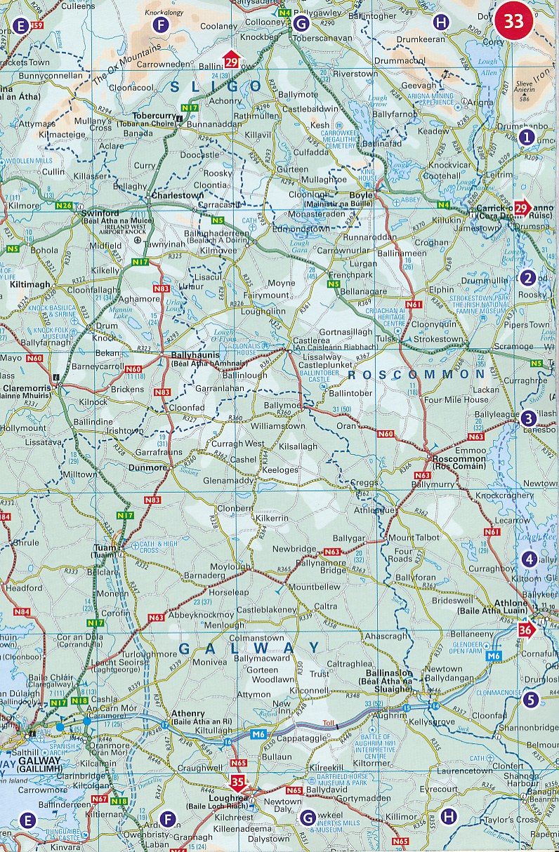
This atlas, at A5 size, contains mapping of the whole of Ireland at 9 miles to 1 inch (1:570,240). The mapping is beautifully designed with colour classified roads and subtle layered height tinting.
The atlas is ideal for residents, visitors and tourists alike.
Key features of the atlas include:
• All Ireland route planning maps.
• Dublin, Belfast, Cork, Galway, Londonderry and Limerick town centre plans.
• Blue Flag and Green Coast beaches map.
• List of tourist information centres.
• Description of places of interest.
• Full index to place names and places of interest.
• Information on airports, ferries and radio stations.
• Mileage chart.
Reviews
Geen reviews gevonden voor dit product.
Schrijf een review
Graag horen wij wat u van dit artikel vindt. Vindt u het goed, leuk, mooi, slecht, lelijk, onbruikbaar of erg handig: schrijf gerust alles op! Het is niet alleen leuk om te doen maar u informeert andere klanten er ook nog mee!
Alle gerelateerde rubrieken >
Ook interessant voor europa/ierland
-

Reisgids Experience Ireland - Ierlan
€ 23,95Reisgidsen Ierland -

Fietskaart Ballyshannon to Ballycast
€ 11,75Fietskaarten Ierland -

Reisverhaal Round Ireland with a Fri
€ 14,50Reisverhalen Ierland -

Vogelgids Birds of Ireland - Ierland
€ 22,50Vogelgidsen Ierland -

Wandelkaart The Mournes | Ordnance S
€ 14,95Wandelkaarten Ierland