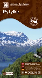
Wegenkaart - landkaart 20002 Nasjonale Turistveger Ryfylke | Nordeca (7046660200025)
- ISBN / CODE: 7046660200025
- Editie: 01-01-2014
- Aantal blz.: 1
- Schaal: 1:105000
- Uitgever: Nordeca
- Soort: Wegenkaart
- Serie: Nasjonale Turistveger
- Taal: Engels, Duits, andere talen
- Hoogte: 26.0 cm
- Breedte: 14.0 cm
- Gewicht: 185.0 g
- Uitvoering: Papier
- Beoordeling: 2,0 ★★★★★ (1 review) Schrijf een review
-
€ 29,95
Leverbaar in 3 - 5 werkdagen in huis in Nederland Levertijd Belgie
Gratis verzending in Nederland vanaf €35,-
-
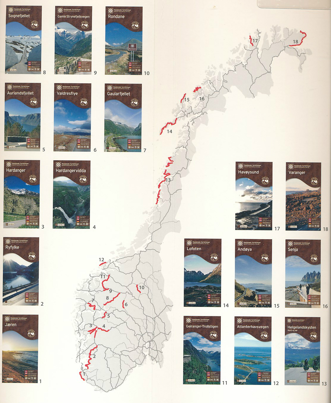
Overzichtskaart Nasjonale Turistveger


Producten op deze overzichtskaart:
Klik op een product om naar de pagina van dat product te gaan.
- Wegenkaart - landkaart 20002 Nasjonale Turistveger Ryfylke | Nordeca
- Wegenkaart - landkaart 20005 Nasjonale Turistveger Aurlandsfjellet | Nordeca
- Wegenkaart - landkaart 20006 Nasjonale Turistveger Valdresflye | Nordeca
- Wegenkaart - landkaart 20008 Nasjonale Turistveger Sognefjellet | Nordeca
- Wegenkaart - landkaart 20009 Nasjonale Turistveger Gamle Strynefjellsvegen | Nordeca
- Wegenkaart - landkaart 20012 Nasjonale Turistveger Atlanterhavsveien | Nordeca
- Wegenkaart - landkaart 20017 Nasjonale Turistveger Havøysund | Nordeca
Overzichtskaarten
Beschrijving
Reviews
Kaart valt erg tegen. Weinig detail. Wat ik met een aantal ansichtkaarten moet weet ik niet. Tegenvaller als je toch flinke prijs in ogenschouw neemt.
★★★★★ door Ad Mulder 6 mei 2017Vond u dit een nuttige review? (login om te beoordelen)
Schrijf een review
Graag horen wij wat u van dit artikel vindt. Vindt u het goed, leuk, mooi, slecht, lelijk, onbruikbaar of erg handig: schrijf gerust alles op! Het is niet alleen leuk om te doen maar u informeert andere klanten er ook nog mee!


