Wandelgidsen - Schotland
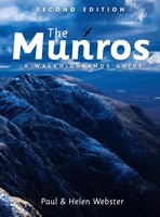 Wandelgids The Munros | Pocket Mountains
The Munros are mountains in Scotland with a height of over 3000ft and take their name from the first list of such hills published in 1891 by Victorian mountaineer Sir …
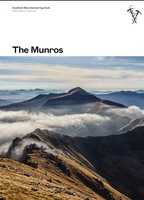 Wandelgids The Munros | SMC guide
Toonaangevend boek over alle Munros in Schotland, de bergen boven de 3000 feet. Er zijn talloze mensen die in hun leven alle Munros willen beklimmen; het is een hele cultus. …
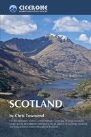 Wandelgids Scotland | Cicerone
Als je wilt wandelen in Schotland is dit het ultieme naslagwerk. A resource book covering the finest walks and climbs in Scotland, with its variety of wild landscapes ranging from …
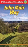 Wandelgids John Muir Way | Rucksack Readers
The John Muir Way runs for 134 miles (215 km) coast-to-coast across central Scotland, from Helensburgh on the Clyde to Dunbar on the North Sea. The route is as suitable …
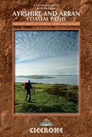 Wandelgids Ayrshire and Arran Coastal Paths | Cicerone
A guide to walking or backpacking along the Ayrshire and Arran Coastal Paths, which stretch for over 150 miles along the stunning west coast of Scotland, within easy reach of …
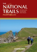 Wandelgids the National Trails - Great British Walks - Engeland, Wales en Schotland | Cicerone
Guidebook to Britain's National Trails - 19 long-distance walking routes through England, Wales and Scotland, describing what makes each of them so special and providing the practical information to help …
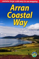 Wandelgids The Arran Coastal Way | Rucksack Readers
The Arran Coastal Way is perhaps Scotland's finest circular long-distance trail, running 65 miles (105 km) around the Isle of Arran in a memorable week-long hike from Brodick. It's accessible …
★★★★★★★★★★ Wandelgids Schottland - Schotland | Rother Bergverlag
Uitstekende wandelgids met een groot aantal dagtochten in dal en hooggebergte. Met praktische informatie en beperkt kaartmateriaal! Wandelingen in verschillende zwaarte weergegeven in rood/blauw/zwart Denkt man an Schottland, hat man …
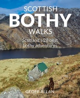 Wandelgids Scottish Bothy Walks | Wild Things Publishing
Scottish Bothy Walks is the sequel to the best-selling Scottish Bothy Bible and describes 28 sensational walking adventures to Scotland’s finest bothies. Choosing his favourite bothies as the focal point, …
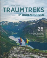 Wandelgids - Fotoboek Traumtreks im hohen Norden | Bruckmann Verlag
Bijzonder mooi inspiratieboek met een beschrijving van 26 mooie wandelroutes in Groenland, Schotland, Scandinavië en in de Baltische Staten: een groot gebied, maar het boek dient dan ook vooral als …
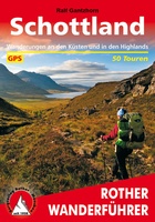
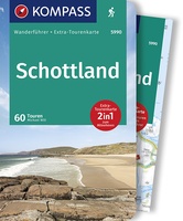 Wandelgids 5990 Wanderführer Schottland - an den Küsten und in den Highlands - Schotland | Kompass
Goede Duitstalige wandelgids met heldere beschrijvingen van de wandeltochten. Met hoogteprofiel, kaartje en de benodigde praktische informatie als bijvoorbeeld de startlocatie met GPS coordinaten. De wandelingen zijn ingedeeld in zwaarte …
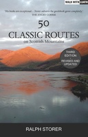 Wandelgids 50 Classic Routes on Scottish Mountains | Luath Press
If you enjoy walks in the countryside, Scotland should be on your list of places to visit, and you should bring this book as your guide. Anyone who has ever …
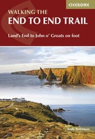 Wandelgids Walking The End to End Trail | Cicerone
Een droomroute voor velen: helemaal van het zuidelijkste puntje van Engeland naar het noordelijkste puntje van Schotland, zo'n slordige 1956 km door fabelachtig mooie afwisselende landschappen. Zeer gedetailleerd beschreven met …
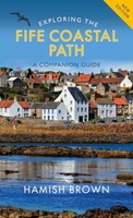 Wandelgids Exploring the Fife Coastal Path | Birlinn
This is the ideal guide to the whole route, so rich in history and natural beauty. Designed to be used by walkers on the Path or visitors to any point …
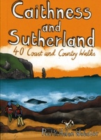 Wandelgids Caithness and Sutherland | Pocket Mountains
Handige compacte wandelgids met 40 dagwandelingen. Deze gids bevat kleine kaartjes en leuke uitgebreide informatie over wat er langs de route te zien is. Goede wandelkaarten zijn echter we noodzakelijk …
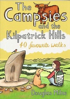 Wandelgids The Campsies and the Kilpatrick Hills | Pocket Mountains
Handige compacte wandelgids met 40 dagwandelingen. Deze gids bevat kleine kaartjes en leuke uitgebreide informatie over wat er langs de route te zien is. Goede wandelkaarten zijn echter we noodzakelijk …
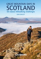 Wandelgids Great Mountain Days in Scotland | Cicerone
The 50 testing routes in this larger-format guidebook are spread across an epic mountainous landscape that is one of the wildest areas in Europe. These routes show the rich diversity …
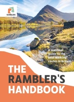 Wandelgids The Rambler's Handbook | Quercus Publishing
Discover the best of Britain's rambles, all year round. Britain is brimming with stunning walks, and this go-to guide sets out our 40 favourite routes around the UK. Arranged by …
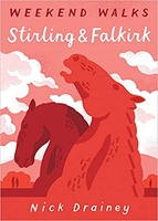 Wandelgids Stirling & Falkirk : Weekend Walks | Pocket Mountains
Handige compacte wandelgids met 40 dagwandelingen. Deze gids bevat kleine kaartjes en leuke uitgebreide informatie over wat er langs de route te zien is. Goede wandelkaarten zijn echter we noodzakelijk …
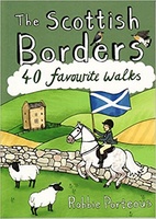 Wandelgids The Scottish Borders | Pocket Mountains
Handige compacte wandelgids met 40 dagwandelingen. Deze gids bevat kleine kaartjes en leuke uitgebreide informatie over wat er langs de route te zien is. Goede wandelkaarten zijn echter we noodzakelijk …
Laatste reviews

Het boekje geeft veel (achtergrond)informatie over de route zelf en over de plaatsen waar je langs komt. Daarnaast is de route bewegwijzerd en dat is …
★★★★★ door Irma 18 april 2024 | Heeft dit artikel gekocht
Boekje was niet meer voorradig, door de inzet van een medewerker toch nog via via een boekje kunnen krijgen. Ik vind dit een hele bijzondere …
★★★★★ door Thea de Weerd 17 april 2024 | Heeft dit artikel gekocht
Gebruik al jaren de ACSI gidsen. Zijn geweldig. En dan ook nog de korting in voor- en naseizoen. Prima.
★★★★★ door Loes Nagelhout-ram 17 april 2024 | Heeft dit artikel gekocht
Heel lief doosje, wij hebben hem gebruikt voor een kadopakketje te maken, met een hotelbon erbij.
★★★★★ door H vd berge 17 april 2024 | Heeft dit artikel gekocht