Wegenatlas Navigator Scotland | A4-Formaat | Ringand | Philip's Maps (9781849075459)
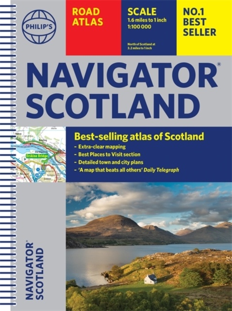
- ISBN / CODE: 9781849075459
- Editie: 2021
- Aantal blz.: 128
- Schaal: 1:100000
- Uitgever: Philip's Maps
- Soort: Wegenatlas
- Taal: Engels
- Hoogte: 29.4 cm
- Breedte: 22.0 cm
- Dikte: 1.0 cm
- Uitvoering: -
- Bindwijze: RIngband
- Beoordeling: 5,0 ★★★★★ (13 reviews) Schrijf een review
-
€ 14,95
Op voorraad. Voor 17.00 uur op werkdagen besteld, morgen in huis in Nederland Levertijd Belgie
Gratis verzending in Nederland vanaf €35,-


Beschrijving
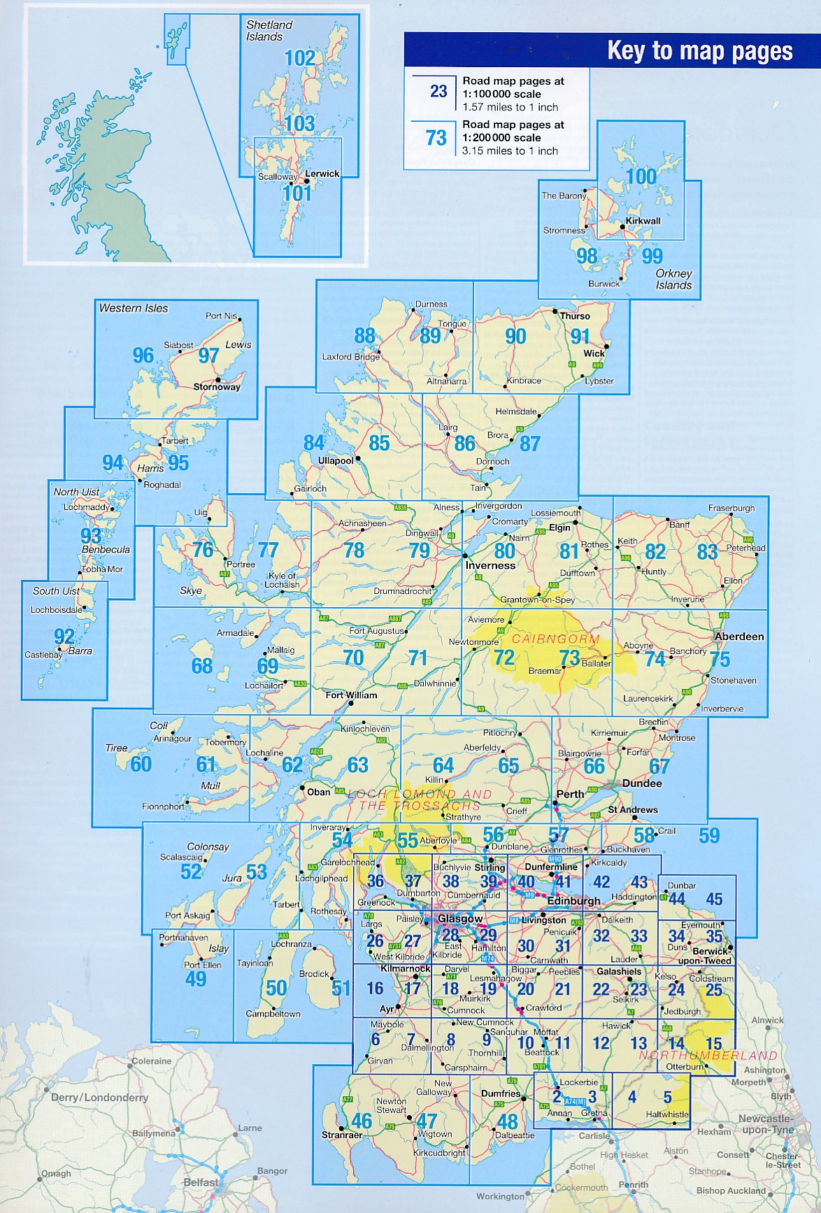
Duidelijke en gedetailleerde atlas van Schotland met enkele stadsplattegronden en register.
Reviews
zeer handig en duidelijk.
★★★★★ door Jan Wijers 16 februari 2024 | Heeft dit artikel gekochtVond u dit een nuttige review? (login om te beoordelen)
voordat we op reis gaan kopen we vaak van te voren al een kaart. dan krijg je al een idee hoe groot het land is en wat de verhoudingen zijn. Maar als je dan in het land van bestemming in de auto zit dan is zo'n grote kaart niet handig. En dan komt deze atlas goed van pas. Erg handzaam en goed in de auto te gebruiken.
★★★★★ door Kees 17 februari 2023 | Heeft dit artikel gekochtVond u dit een nuttige review? (login om te beoordelen)
Goed leesbaar en denk dat we er een hoop plezier van zullen hebben. Route samenstellen zal leuk worden.
★★★★★ door Vreeburg 26 januari 2023 | Heeft dit artikel gekochtVond u dit een nuttige review? (login om te beoordelen)
Schrijf een review
Graag horen wij wat u van dit artikel vindt. Vindt u het goed, leuk, mooi, slecht, lelijk, onbruikbaar of erg handig: schrijf gerust alles op! Het is niet alleen leuk om te doen maar u informeert andere klanten er ook nog mee!
Ook interessant voor europa/schotland
-

Wegenatlas Scotland - Schotland | A-
€ 9,95Wegenatlassen Schotland -

Wandelkaart John Muir Way | SNH
€ 9,95Wandelkaarten Schotland -

Survivalgids The Book of the Bivvy -
€ 14,95Survivalgidsen Schotland -

Wegenkaart - landkaart Touring Map o
€ 9,95Wegenkaarten Schotland -

Reisgids Michelin groene gids Schotl
€ 25,99Reisgidsen Schotland