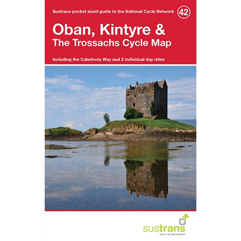
Fietskaart 42 Cycle Map Oban, Kintyre & The Trossachs | Sustrans (9781910845189)
- ISBN / CODE: 9781910845189
- Schaal: 1:110000
- Uitgever: Sustrans
- Soort: Fietskaart
- Serie: Cycle Map
- Taal: Engels
- Uitvoering: -
- Bindwijze: -
- Schrijf als eerste een review
-
€ 8,95
Uitverkocht, nooit meer leverbaar
-
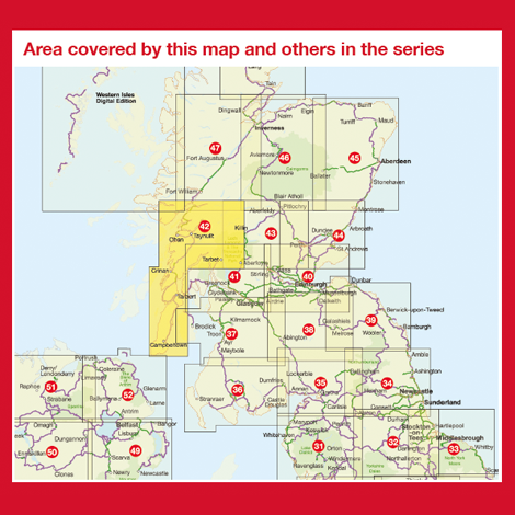
Overzichtskaart Fietskaarten 1:110.000 Engeland, Wales, Schotland en Noord-Ierland | Sustrans
.jpg)
Producten op deze overzichtskaart:
Klik op een product om naar de pagina van dat product te gaan.
Overzichtskaarten
Beschrijving
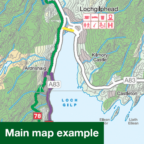
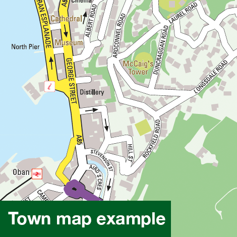
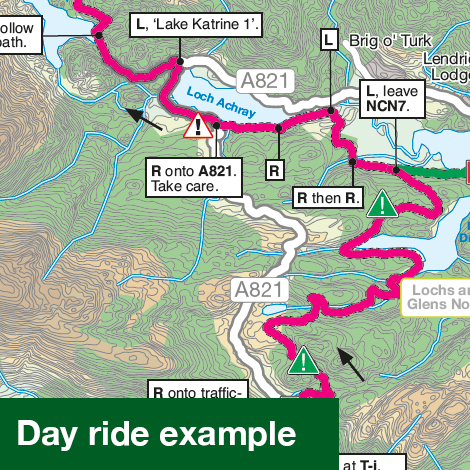
Alle fietsroutes in betreffend gebied staan keurig ingetekend, dus ook die van het National Cycle Network. Ook veel praktische zaken als bezienswaardigheden, stations, supermarkten, fietsenmakers, pubs, hotels etc. Bovendien zijn er twee dagfietstochten op de kaart vermeld.
Reviews
Geen reviews gevonden voor dit product.
Schrijf een review
Graag horen wij wat u van dit artikel vindt. Vindt u het goed, leuk, mooi, slecht, lelijk, onbruikbaar of erg handig: schrijf gerust alles op! Het is niet alleen leuk om te doen maar u informeert andere klanten er ook nog mee!
Ook interessant voor europa/schotland/hebriden-skye
-

Reisgids Uists & Barra | David Charl
€ 13,50Reisgidsen Hebriden -

Wandelgids Harris and Lewis – Outer
€ 23,95Wandelgidsen Hebriden -

Fietsgids Cycling in the Hebrides -
€ 22,50Fietsgidsen Hebriden -

Reisverhaal Love of Country - A Hebr
€ 15,50Reisverhalen Hebriden -

Wandelkaart - Topografische kaart 03
€ 19,50Topografische kaarten Hebriden