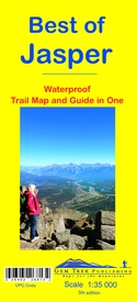
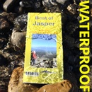
Wandelkaart 12 Best of Jasper | Gem Trek Maps (9781895526813)
- ISBN / CODE: 9781895526813
- Editie: 20-11-2016
- Druk: 5
- Aantal blz.: 1
- Schaal: 1:35000
- Uitgever: Gem Trek Maps
- Soort: Wandelkaart
- Taal: Engels
- Hoogte: 23.0 cm
- Breedte: 10.0 cm
- Gewicht: 39.0 g
- Bindwijze: -
- Uitvoering: Scheur- en watervast
- Schrijf als eerste een review
-
€ 13,95
Op voorraad. Voor 17.00 uur op werkdagen besteld, morgen in huis in Nederland Levertijd Belgie
Gratis verzending in Nederland vanaf €35,-
-
Overzicht Gem trek wandelkaarten British Columbia

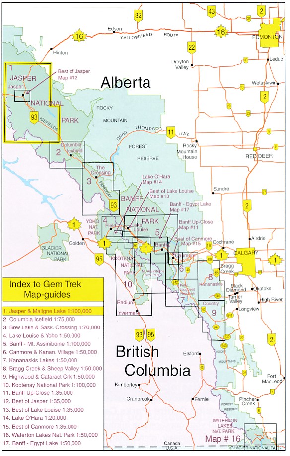
Producten op deze overzichtskaart:
Klik op een product om naar de pagina van dat product te gaan.
- Wandelkaart 01 Jasper National Park & Maligne Lake | Gem Trek Maps
- Wandelkaart 02 Columbia Icefield | Gem Trek Maps
- Wandelkaart 04 Lake Louise & Yoho | Gem Trek Maps
- Wandelkaart 05 Banff National Park and Mt. Assiniboine | Gem Trek Maps
- Wandelkaart 06 Canmore & Kananaskis Village | Gem Trek Maps
- Wandelkaart 08 Bragg Creek and Sheep Valley | Gem Trek Maps
- Wandelkaart 10 Kootenay National Park | Gem Trek Maps
- Wandelkaart 11 Banff Up-Close | Gem Trek Maps
- Wandelkaart 12 Best of Jasper | Gem Trek Maps
- Wandelkaart 13 Best of Lake Louise Map and Guide | Gem Trek Maps
- Wandelkaart 14 Lake O'Hara | Gem Trek Maps
- Wandelkaart 16 Waterton Lakes NP | Gem Trek Maps
- Wandelkaart Banff - Egypt Lake | Gem Trek Maps
Overzichtskaarten
Beschrijving
Water- en scheurvaste wandelkaart van Jasper. Met op de achterzijde een overzicht van de belangrijkste bezienswaardigheden.
This map is designed for people who are only going to be in Jasper for one to three days, and want to know what the highlights are and how to find them.
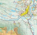
On the front is a 1:35,000-scale detailed topographic map of the Jasper townsite area, which covers the entire network of trails on Pyramid Bench, Maligne Canyon to the northeast, and the Valley of Five Lakes to the south.
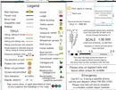
All the hiking and biking trails are labelled and distances are marked. Contour interval on the map is 25 metres (80 feet).
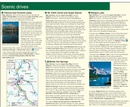
On the back of the map are descriptions of recommended sights, museums and scenic drives in the Jasper area, with hours of operation and admission fees noted to make it easier to plan your day. We've also included a hand-picked list of the best six walks and day hikes in the area, noting the highlights of each trail, as well as distance, elevation gain and directions to the trailhead.
Six color photos and three inset maps, including a town map of Jasper, accompany the descriptions of sights and hikes on the back of the map.
Everything the visitor needs to make the most of their time in Jasper.
In addition to the standard features, this map also includes:
contour lines at 25-metre intervals (80 feet)
traditional topo colors - green for treed and white for untreed areas
full color on both sides
Reviews
Geen reviews gevonden voor dit product.
Schrijf een review
Graag horen wij wat u van dit artikel vindt. Vindt u het goed, leuk, mooi, slecht, lelijk, onbruikbaar of erg handig: schrijf gerust alles op! Het is niet alleen leuk om te doen maar u informeert andere klanten er ook nog mee!

