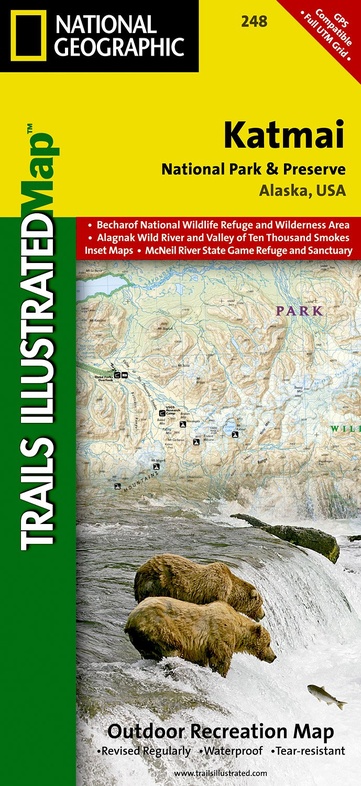
Wandelkaart - Topografische kaart 248 Katmai National Park & Preserve | National Geographic (9781566952903)
Alaska, USA
- ISBN / CODE: 9781566952903
- Schaal: 1:300000
- Uitgever: National Geographic
- Soort: Topografische kaart, Wandelkaart
- Taal: Engels
- Schrijf als eerste een review
-
€ 16,95
Leverbaar in 3 - 5 werkdagen in huis in Nederland Levertijd Belgie
Gratis verzending in Nederland vanaf €35,-

-
Overzicht Wandelkaarten Alaska Trails Illustrated National Geographic
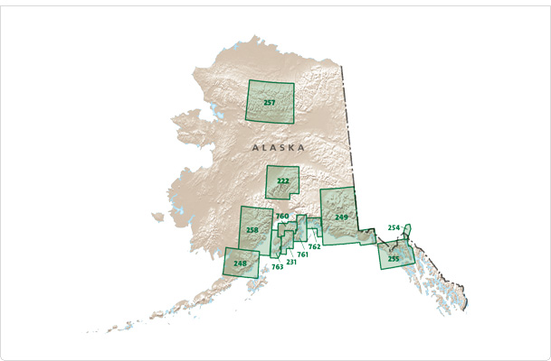
Producten op deze overzichtskaart:
Klik op een product om naar de pagina van dat product te gaan.
- Wandelkaart - Topografische kaart 222 Trails Illustrated Denali National Park | National Geographic
- Wandelkaart - Topografische kaart 248 Katmai National Park & Preserve | National Geographic
- Wandelkaart - Topografische kaart 254 Chilkoot Trail | National Geographic
- Wandelkaart - Topografische kaart 255 Glacier Bay National Park & Preserve | National Geographic
- Wandelkaart - Topografische kaart 257 Trails Illustrated Gates of the Arctic National Park & Preserve | National Geographic
- Wandelkaart - Topografische kaart 761 Prince William Sound West | National Geographic
Overzichtskaarten
Beschrijving
Prachtige geplastificeerde kaart van het nationaal park. Met alle recreatieve voorzieningen als campsites, maar ook met topografische details en wandelroutes ed. Door uitgekiend kleurgebruik zeer prettig in gebruik. Scheur en watervast!
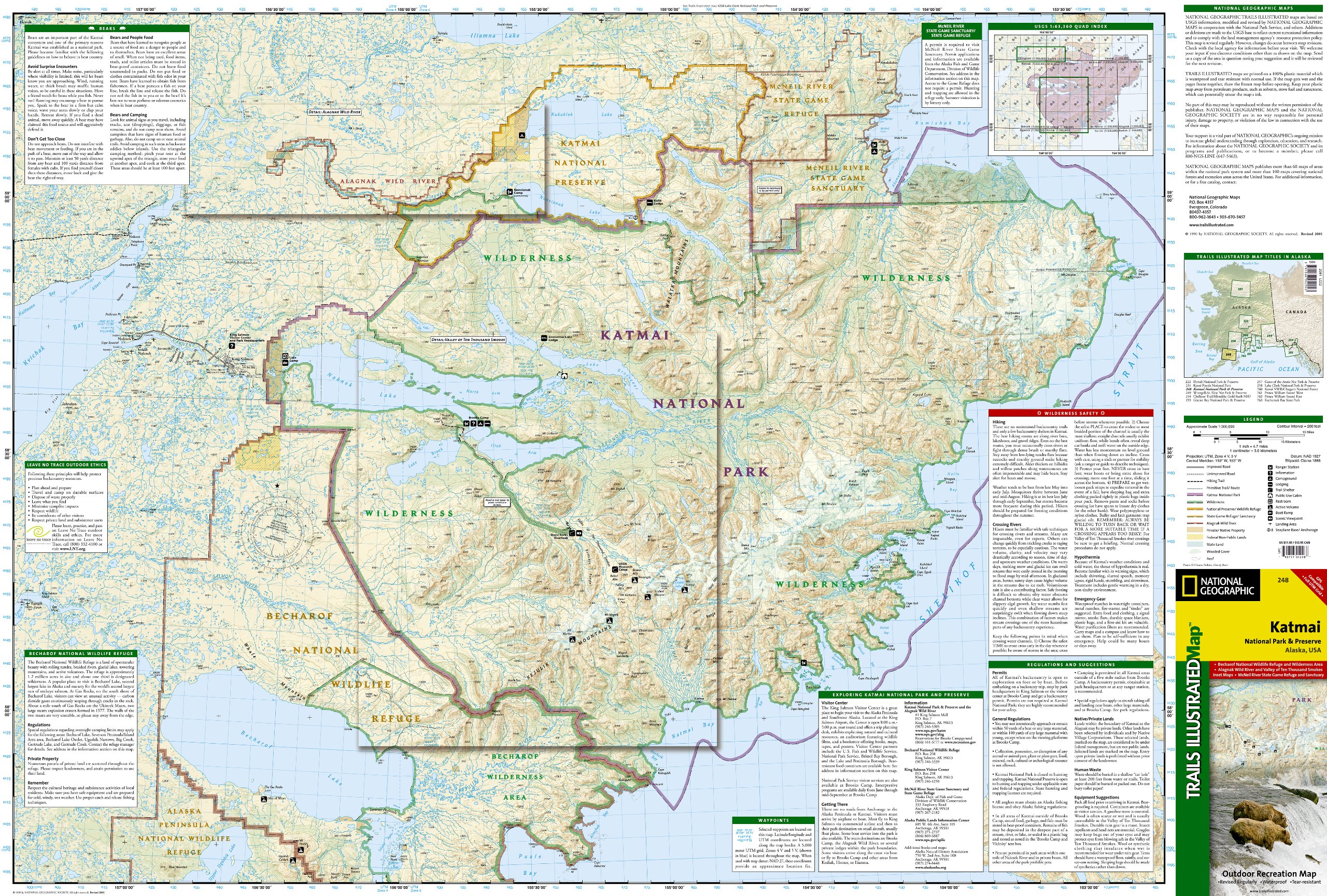
This two-sided map includes Katmai National Park and Wilderness in its entirety, Becharof National Wildlife Refuge, Becharof Wilderness Area, Alaska Peninsula National Wildlife Refuge, Alagnak Wild River Katmai National Preserve, McNeil River State Game Refuge, McNeil River State Game Sanctuary, Iliamna Lake, Kukaklek Lake, Naknek Lake, Kvichak Bay, Becharof LAke, Upper Ugashik Lake, Puale Bay, Katmai Bay, and the Shelikof Strait. Also included are Mt Katmai, Trident Bolcano, Novatupta, Mt. Mageik, Mt. Martin, Three Forks Overlook, and Brooks Camp. The map features Wilderness Safety tips, land use regulations, and information on how best to react to bear encounters. Beautiful cartography shows the mountains, rivers, marsh areas, and natural features of this spectacular land. Includes UTM tick marks for use with your GPS unit.
Reviews
Geen reviews gevonden voor dit product.
Schrijf een review
Graag horen wij wat u van dit artikel vindt. Vindt u het goed, leuk, mooi, slecht, lelijk, onbruikbaar of erg handig: schrijf gerust alles op! Het is niet alleen leuk om te doen maar u informeert andere klanten er ook nog mee!
Ook interessant voor noord-amerika/verenigde-staten-van-amerika/nationale-parken
-

Vogelgids Sibley Field Guide to Bird
€ 25,95Vogelgidsen Alberta -

Campergids - Campinggids Camping Ala
€ 19,95Campergidsen Alaska -

Wandelkaart - Topografische kaart 25
€ 16,95Topografische kaarten British Columbia -

Reisgids Capitool Reisgidsen USA Zui
€ 28,99Reisgidsen Nationale Parken Verenigde Staten van Amerika -

Wegenkaart - landkaart 3117 Adventur
€ 17,50Wegenkaarten Alaska