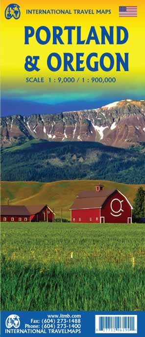
Wegenkaart - landkaart Portland & Oregon | ITMB (9781771296199)
- ISBN / CODE: 9781771296199
- Schaal: 1:900000
- Uitgever: ITMB
- Soort: Wegenkaart
- Taal: Engels
- Schrijf als eerste een review
-
€ 13,95
Op voorraad. Voor 17.00 uur op werkdagen besteld, morgen in huis in Nederland Levertijd Belgie
Gratis verzending in Nederland vanaf €35,-
Beschrijving
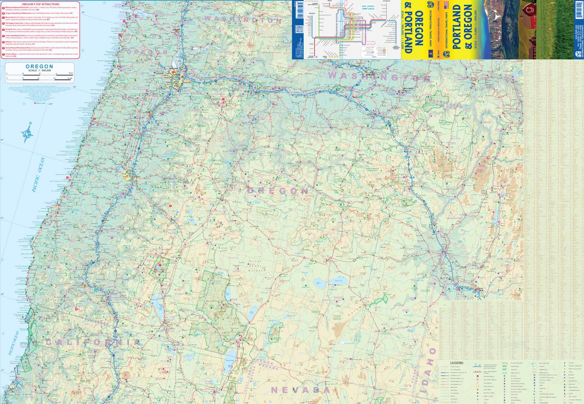
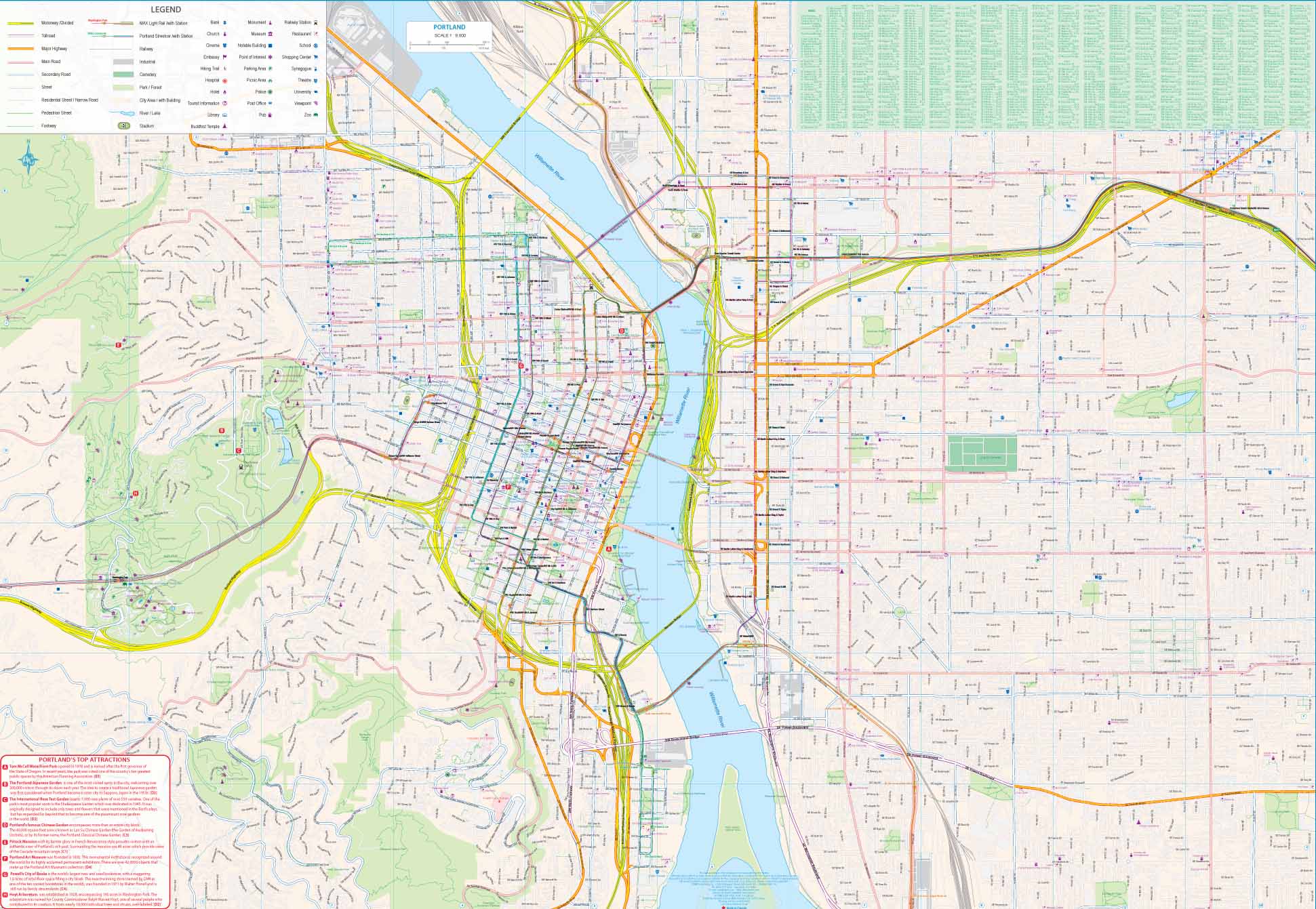
This is a brand new title from ITMB. Portland is the largest city in the American state of Oregon. It is not the capital; that distinction belongs to Salem, about 50 miles to the south, but Portland is an actual sea-going port, although it is a hundred miles away from the ocean. It is situated on the majestic Columbia River, which at one time formed the border between British-controlled Canada and the emerging United States. That changed after 1842, with the Oregon Treaty, under which both governments agreed to "share" the territory. At that time, the British capital was Astoria, a lovely town at the mouth of the Columbia, but the Governor, realizing that sharing with the Americans meant capitulation to the Americans, moved the capital north to Victoria, on what was then designated a separate colony. Regardless, today both Portland and the State of Oregon present some of the nicest scenery in America. Our portrayal of the city goes from the Northwest Freemont Bridge in the north (the I-5 motorway) south to Ross Island, and from Washington Park in the west to Chavez Blvd. in the east. At this scale, this encompasses the entire core of Portland and provides room to show the rapid transit line, the convention center, the downtown, and all the bridges across the Willamette River. The reverse side of the street shows the State of Oregon in excellent detail. Most of the developed portion of the State is in the western portion, along the Pacific Ocean, or close to the I-5 motorway. Inland, the Great Sandy Desert occupies much of the southern part of the State, while majestic Mount Hood, an inactive volcano, dominates the North. The far eastern portion connects to the State of Idaho, the north to Washington State, and the south to California and Nevada. The map includes a set of "must see" destinations. My favourite is the Spruce Goos Air Museum in McMinnville.
Reviews
Geen reviews gevonden voor dit product.
Schrijf een review
Graag horen wij wat u van dit artikel vindt. Vindt u het goed, leuk, mooi, slecht, lelijk, onbruikbaar of erg handig: schrijf gerust alles op! Het is niet alleen leuk om te doen maar u informeert andere klanten er ook nog mee!
Ook interessant voor noord-amerika/verenigde-staten-van-amerika/oregon
-

Reisverhaal Wild | Cheryl Strayed
€ 15,00Reisverhalen Noordwest USA -

Wandelkaart 244 Crater Lake National
€ 17,95Wandelkaarten Nationale Parken Verenigde Staten van Amerika -

Wegenkaart - landkaart Portland & Or
€ 13,95Wegenkaarten Oregon -

Campinggids - Campergids Pacific Nor
€ 25,95Campergidsen Washington state -

Reisgids ANWB Wereldreisgids Verenig
€ 29,50Reisgidsen Noordwest USA