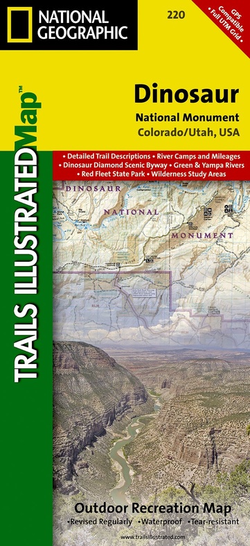
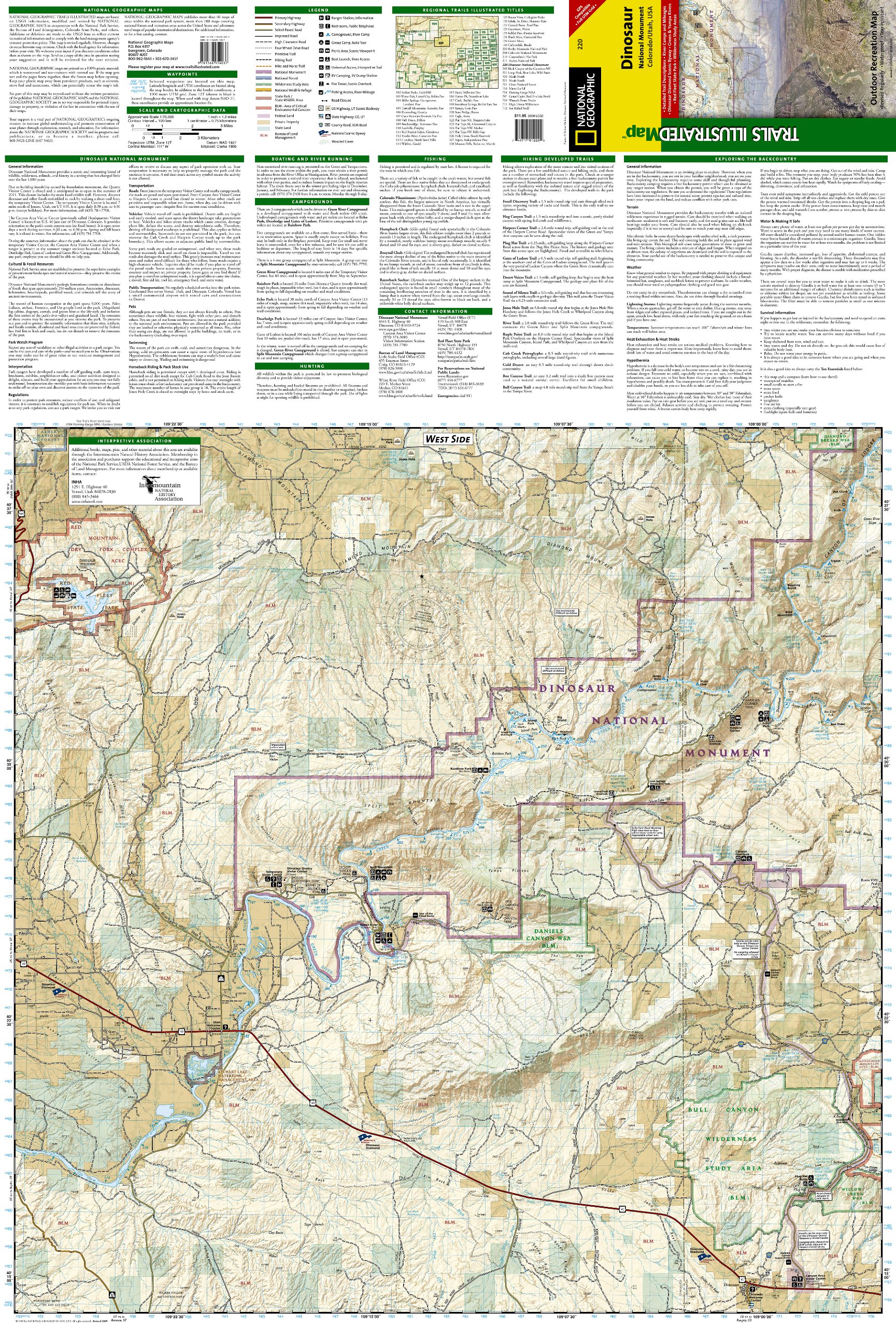
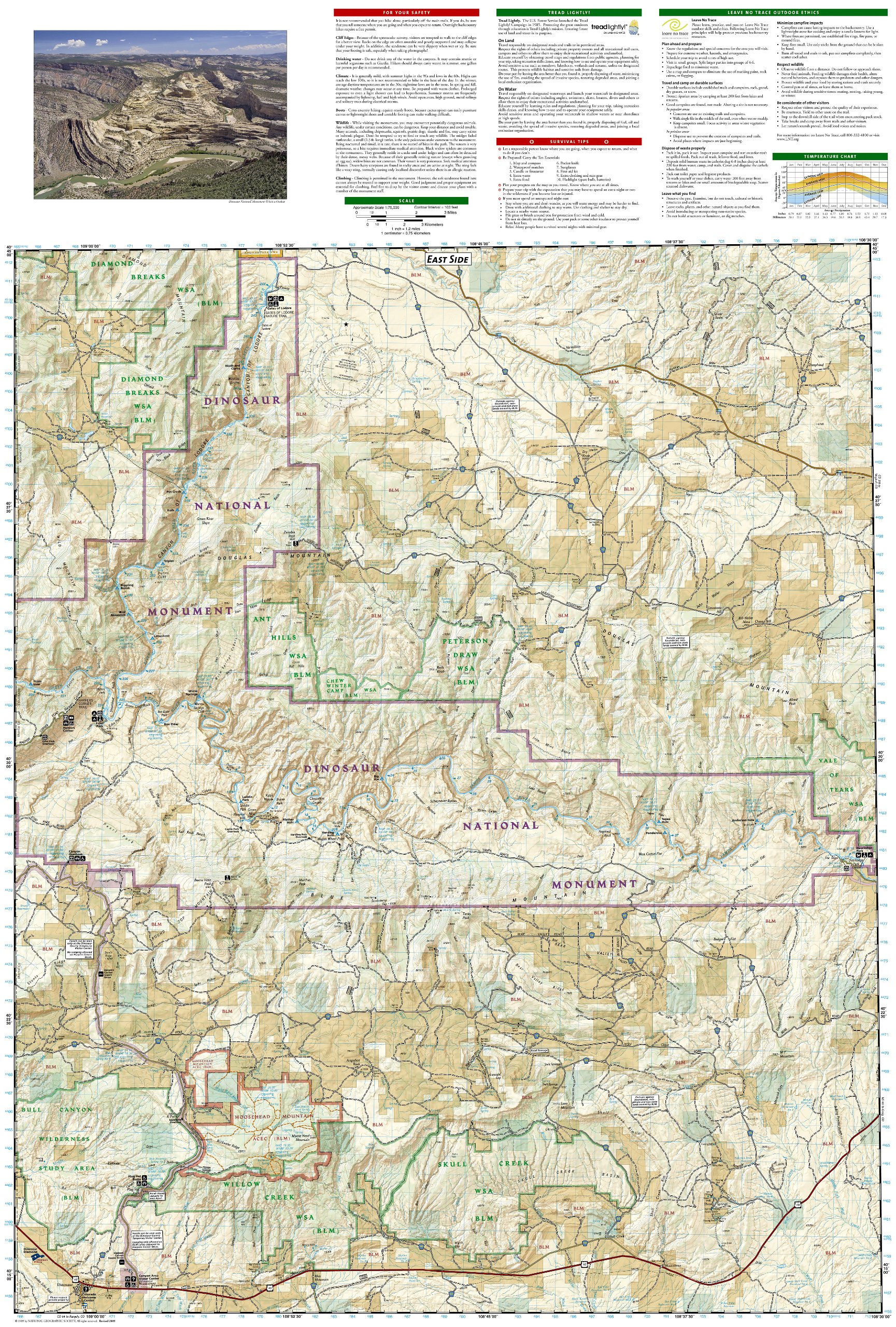
Wandelkaart - Topografische kaart 220 Dinosaur National Monument | National Geographic (9781566954037)
Colorado / Utah, USA
- ISBN / CODE: 9781566954037
- Schaal: 1:75000
- Uitgever: National Geographic
- Soort: Topografische kaart, Wandelkaart
- Taal: Engels
- Schrijf als eerste een review
-
€ 16,95
Dit artikel is (tijdelijk) niet leverbaar
-
Overzicht Wandelkaarten Utah Trails Illustrated National Geographic
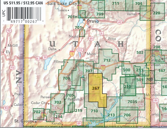
Producten op deze overzichtskaart:
Klik op een product om naar de pagina van dat product te gaan.
- Wandelkaart - Topografische kaart 210 Canyonlands National Park | National Geographic
- Wandelkaart - Topografische kaart 211 Arches National Park | National Geographic
- Wandelkaart - Topografische kaart 214 Zion National Park | National Geographic
- Wandelkaart - Topografische kaart 219 Bryce Canyon National Park | National Geographic
- Wandelkaart - Topografische kaart 220 Dinosaur National Monument | National Geographic
- Wandelkaart 267 Capitol Reef National Park | National Geographic
- Wandelkaart - Topografische kaart 310 Island in the Sky District - Canyonlands National Park | National Geographic
- Wandelkaart - Topografische kaart 311 Needles District - Canyonlands National Park | National Geographic
- Wandelkaart - Topografische kaart 312 Maze District - Canyonlands National Park | National Geographic
- Wandelkaart - Topografische kaart 501 Moab South | National Geographic
- Wandelkaart - Topografische kaart 702 Cedar Mountain - Pine Valley Mountain - Dixie National Forest | National Geographic
- Wandelkaart - Topografische kaart 703 Manti La-Sal National Forest | National Geographic
- Wandelkaart - Topografische kaart 704 Flaming Gorge National Recreation Area | National Geographic
- Wandelkaart - Topografische kaart 705 Paunsaugunt Plateau - Mount Dutton - Bryce Canyon | National Geographic
- Wandelkaart - Topografische kaart 710 Canyons of the Escalante - Grand Staircase-Escalante National Monument | National Geographic
Overzichtskaarten
Beschrijving
Prachtige geplastificeerde kaart van het bekende nationaal park. Met alle recreatieve voorzieningen als campsites, maar ook met topografische details en wandelroutes ed. Door uitgekiend kleurgebruik zeer prettig in gebruik. Scheur en watervast!
Reviews
Geen reviews gevonden voor dit product.
Schrijf een review
Graag horen wij wat u van dit artikel vindt. Vindt u het goed, leuk, mooi, slecht, lelijk, onbruikbaar of erg handig: schrijf gerust alles op! Het is niet alleen leuk om te doen maar u informeert andere klanten er ook nog mee!
Ook interessant voor noord-amerika/verenigde-staten-van-amerika/zuidwest-usa
-

Wandelgids TopTrails Nordamerika Wes
€ 29,95Wandelgidsen Noordwest USA -

Wandelkaart - Topografische kaart 31
€ 14,95Topografische kaarten Nationale Parken Verenigde Staten van Amerika -

Reisgids Simpelweg Nationale Parken
€ 16,99Reisgidsen Zuidwest USA -

Wegenkaart - landkaart Utah & Colora
€ 13,95Wegenkaarten Utah -

Vogelgids Utah | Waterford Press
€ 9,95Vogelgidsen Utah