Wegenkaart - landkaart 270 New South Wales State & Suburban | UBD Gregory's (9780731933105)
- ISBN / CODE: 9780731933105
- Editie: 01-04-2023
- Druk: 30
- Aantal blz.: 1
- Schaal: 1:1600000
- Uitgever: UBD Gregory's
- Soort: Wegenkaart
- Taal: Engels
- Hoogte: 25.0 cm
- Breedte: 12.0 cm
- Gewicht: 81.0 g
- Uitvoering: Papier
- Bindwijze: -
- Schrijf als eerste een review
-
€ 12,95
Leverbaar in 3 - 5 werkdagen in huis in Nederland Levertijd Belgie
Gratis verzending in Nederland vanaf €35,-
Beschrijving
Van de uitgever
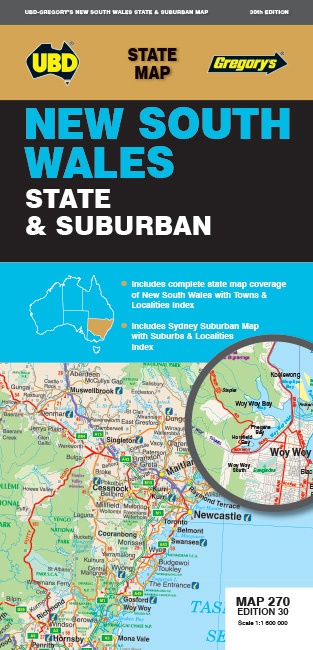
The latest edition of the New South Wales state and suburban map has been fully revised and updated.
It includes state mapping at a scale of 1: 1 600 000 plus an index to towns and localities on one side and on the other side there is Sydney and surrounds suburban coverage north to Gosford, south to Douglas Park and Stanwell Park, along the coast from Palm Beach to Coalcliff and west to Springwood plus an index to the suburbs and localities included on this map.
With all this information contained in this handy fold up map this is an essential tool when travelling around New South Wales and the Sydney region.
Reviews
Geen reviews gevonden voor dit product.
Schrijf een review
Graag horen wij wat u van dit artikel vindt. Vindt u het goed, leuk, mooi, slecht, lelijk, onbruikbaar of erg handig: schrijf gerust alles op! Het is niet alleen leuk om te doen maar u informeert andere klanten er ook nog mee!
Ook interessant voor oceanie/australie/newsouthwaleszuidoostaustralie
-

Reisgids Melbourne & Victoria | Lone
€ 20,95Reisgidsen New South Wales Zuidoost Australië -

Stadsplattegrond 299 Wollongong Subu
€ 12,95Stadsplattegronden New South Wales Zuidoost Australië -

Wegenkaart - landkaart Sydney to Bri
€ 15,95Wegenkaarten New South Wales Zuidoost Australië -

Wegenatlas Australië | ANWB Media
€ 15,99Wegenatlassen New South Wales Zuidoost Australië -

Wegenkaart - landkaart New South Wal
€ 11,50Wegenkaarten New South Wales Zuidoost Australië