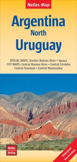
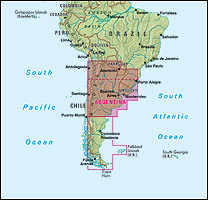
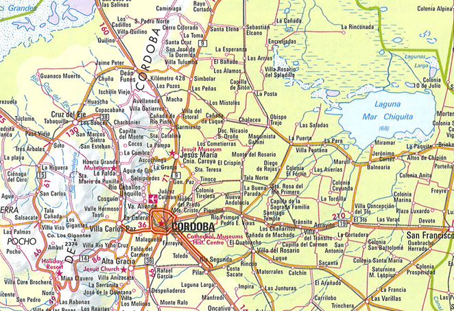
Wegenkaart - landkaart Argentinië - Noord en Uruguay | Nelles Verlag (9783865740847)
scheur- en watervast
- ISBN / CODE: 9783865740847
- Schaal: 1:2500000
- Uitgever: Nelles Verlag
- Soort: Wegenkaart
- Taal: Engels, Duits
- Schrijf als eerste een review
-
€ 11,95
Op voorraad. Voor 17.00 uur op werkdagen besteld, morgen in huis in Nederland Levertijd Belgie
Gratis verzending in Nederland vanaf €35,-
Beschrijving
Goede kaart van het noorden van Argentinie met Uruguay. Aan beide kanten bedrukt. Met veel toeristische aanduidingen als nationale parken en culturele bezienswaardigheden. Prima leesbare kaart.
Reviews
Geen reviews gevonden voor dit product.
Schrijf een review
Graag horen wij wat u van dit artikel vindt. Vindt u het goed, leuk, mooi, slecht, lelijk, onbruikbaar of erg handig: schrijf gerust alles op! Het is niet alleen leuk om te doen maar u informeert andere klanten er ook nog mee!
Ook interessant voor zuid-amerika/argentinie
-

Reisgids South America - Zuid Amerik
€ 24,95Reisgidsen Argentinië -

Wegenkaart - landkaart 3400 Adventur
€ 17,50Wegenkaarten Argentinië -

Reisverhaal Buenos Aires, waar niets
€ 12,50Reisverhalen Buenos Aires -

Vogelgids Birds of Argentina and the
€ 58,50Vogelgidsen Argentinië -

Woordenboek Phrasebook & Dictionary
€ 8,50Woordenboeken & Taalgidsen Cuba