Wandelkaart Rio los Cipreses - Chili | Viachile Editores (9789568925260)
midden Chili 1:100.000 en 1:25.000
- ISBN / CODE: 9789568925260
- Schaal: 1:100000
- Uitgever: Viachile Editores
- Soort: Wandelkaart
- Taal: Engels, Spaans
- Schrijf als eerste een review
-
€ 18,95
Op voorraad. Voor 17.00 uur op werkdagen besteld, morgen in huis in Nederland Levertijd Belgie
Gratis verzending in Nederland vanaf €35,-

Beschrijving
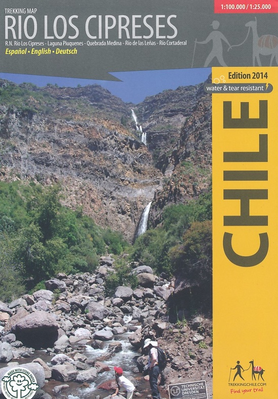
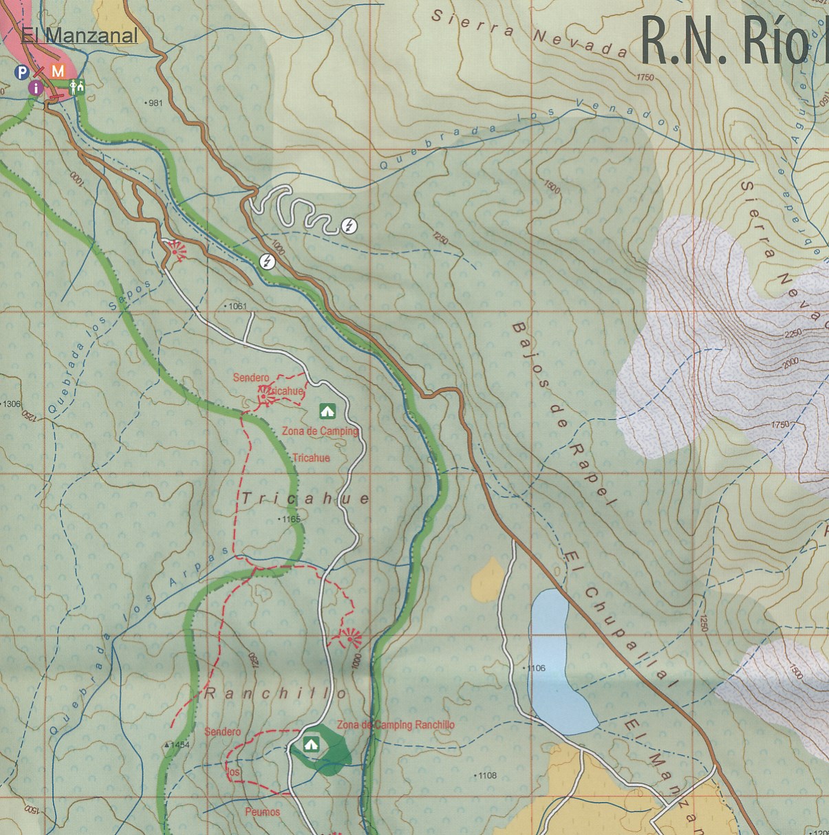
Hiking map of the National Preserve Rio Los Cipreses east of Rancagua, developed by the Institute for Cartography at the Dresden Technical University. Overview map1:100,000 showing the whole preserve with the Laguna Piuquenes and several 4,000 meter summits, being El Palomo volcano the highest with 4860 m. Detail map 1:25,000 of the preserve’s entrance area. GPS compatible, with hiking routes, level curves every 50 m, mountain huts, lodgings and campsites. Landscape pictures and drawings of the local fauna. English - German - Spanish.
Reviews
Geen reviews gevonden voor dit product.
Schrijf een review
Graag horen wij wat u van dit artikel vindt. Vindt u het goed, leuk, mooi, slecht, lelijk, onbruikbaar of erg handig: schrijf gerust alles op! Het is niet alleen leuk om te doen maar u informeert andere klanten er ook nog mee!
Ook interessant voor zuid-amerika/chili
-
 | Zagier & Urruty")
Wegenkaart - landkaart Santa Cruz -
€ 17,95Wegenkaarten Patagonië -

Reisgids I love the seaside Chile -
€ 29,95Reisgidsen Chili -

Vogelgids Birds of Chile - Chili | B
€ 47,50Vogelgidsen Chili -

Wandelkaart - Fietskaart Pucón | Via
€ 18,95Fietskaarten Chili -

Reisverhaal Rapa Nui | Marijke van L
€ 17,95Reisverhalen Paaseiland