Ierland
 Wandelgids Terloops Wat er werkelijk is | van Oorschot
 Wegenkaart - landkaart Ireland - Ierland road map 2025 | Collins
Explore Ireland with easy-to-read mapping from Collins. Full-color map of Ireland at 9 miles to 1 inch (1:570,240), with clear, detailed road network and counties and new administrative areas shown …
 Vogelgids Birds of Ireland - Ierland | Gill Books
Written in association with BirdWatch Ireland, Ireland’s leading bird-conservation organisation, here Jim Wilson and Mark Carmody provide the definitive identification guide for birds in Ireland. You will discover everything you …
 Wegenkaart - landkaart Ierland - Ireland | Marco Polo
Duidelijke wegenkaart van Marco Polo: alle wegen, zowel de verharde als belangrijke onverharde wegen zijn weergegeven. Mooie toeristisch interessante wegen die de moeite waard zijn, zijn groen gearceerd. Veel toeristische …
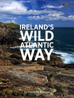 Fotoboek Ireland's Wild Atlantic Way | O'Brien Press
Take a photographic journey down Ireland's Atlantic coast from Donegal in the north to Cork in the south. This beautiful book showcases the west coast in all its wild beauty: …
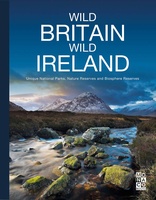 Fotoboek Wild Britain - Wild Ireland | Monaco Books
* Atmospheric mountain photography and panoramic fold-out pages* Special features on flora and fauna* Information and web addresses on protected areas and regions Britain and Ireland have so much to …
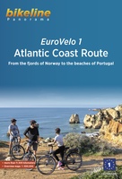 Fietsgids Bikeline Eurovelo 1 - Atlantic Coast Route | Esterbauer
Fantastische route van 11.150 km! For decades, thousands of vacationers have enjoyed cycling tours as the optimal travel method, and their numbers are growing daily. There are countless long-distance routes and …
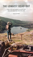
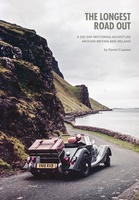 Reisverhaal The Longest Road Out | Daniel Craanen
The Longest Road Out is the road trip of a lifetime. Driving it gave us, without doubt, some of our favourite memories: from sampling succulent oysters on a sun-drenched Guernsey …
 Wegenkaart - landkaart Routemap The Longest Road Out | Longestroadout
Deze kaart hoort bij het boek The Longest Road Out
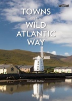 Reisgids Towns on the Wild Atlantic Way | O'Brien Press
From the drama of Donegal to the beauty of west Cork, the 2,500km Wild Atlantic Way is one of the world's greatest tourist routes. The unique towns along the way …
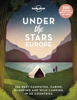 Reisinspiratieboek Under the Stars - Europe | Lonely Planet
From wild camping to curling up in a cabin, discover 200 amazing places to sleep under the stars in Europe. Lonely Planet's experts have scoured the continent to recommend the …
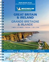
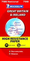 Wegenkaart - landkaart 798 Great Britain & Ireland | Michelin
Scheur- en watervast! Zoals je van Michelin mag verwachten is deze kaart zeer overzichtelijk en heeft een duidelijk helder kaartbeeld. De kaart geeft uitgebreid toeristische informatie weer. Met register, …
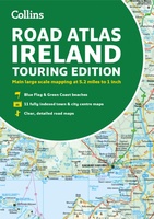 Wegenatlas Road Atlas Ireland | Collins
Explore Ireland with this accurate and fully updated road atlas. This road atlas is at A4 size, covering the whole of Ireland and features clear and detailed Collins colour mapping …
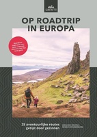 Reisgids Op roadtrip in Europa | Uitgeverij Zout
In Op roadtrip in Europa vind je 25 kant-en-klare routes in Europa die leuk zijn voor kinderen én hun ouders. Want hoe vind je tussen het grote aanbod de …
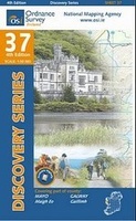 Topografische kaart - Wandelkaart 37 Discovery Mayo (SW), Galway | Ordnance Survey Ireland
Zeer gedetailleerde topografische kaart met een aantal toegevoegde toeristische symbolen voor bijv. bezienswaardigheden, campings en jeugdherbergen. Met hoogtelijnen, mooi kleurgebruik en ingetekende lange-afstands-wandelroutes. Op deze kaart zijn de nationale parken …
★★★★★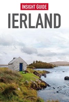 Reisgids Insight Guide Ierland | Uitgeverij Cambium
Een rijk geillustreerde reisgids met diepgaande teksten: één van de beste reisgidsen die er bestaan. Eerste deel bestaat uit een beschrijving van de unieke aspecten van de regio, daarna een …
★★★★★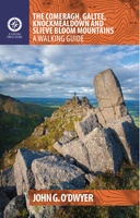 Wandelgids The Comeragh, Galtee, Knockmealdown & Slieve Bloom Mountains | The Collins Press
The Comeragh, Galtee, Knockmealdown & Slieve Bloom Mountains : A Walking Guide John G. O’Dwyer’s comprehensive guide to the best walks in Tipperary and Waterford has now been updated and …
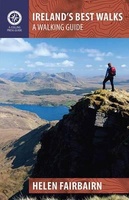 Wandelgids Ireland's Best Walks | The Collins Press
Duidelijke wandelgids van Ierland: Goede praktische informatie en zeker voor de GPS wandelaar handig met vermelde waypoints. Kaarten zijn schetsmatig, maar er wordt verwezen naar de benodigde topografische kaarten van …
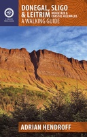 Wandelgids Donegal, Sligo & Leitrim | The Collins Press
The northwest of Ireland provides a diversity of walks, from the wild, untamed landscape of Donegal to the gentler hills and green valleys of Sligo and Leitrim. This guidebook describes …
 Wegenatlas Great Britain and Ireland 2024 - Main Roads Atlas (A4-Spiral) | Michelin
Full of practical features, the Michelin Great Britain & Ireland 2024 - Main Roads Atlas (A4-Spiral) is the perfect companion for your everyday journey and holiday planning. Updated every year, …
★★★★★
Laatste reviews

Ondanks de moderne tijd met navigatie e.d. hebben we diverse reisboeken besteld. Dit is een prima keuze geweest. Het geeft veel meer rust om in …
★★★★★ door Con en Lizet Heijenrath 01 juni 2024 | Heeft dit artikel gekocht
Ondanks de moderne tijd met navigatie e.d. hebben we diverse reisboeken besteld. Dit is een prima keuze geweest. Het geeft veel meer rust om in …
★★★★★ door Con en Lizet Heijenrath 01 juni 2024 | Heeft dit artikel gekocht
Ik ben heel tevreden. Het waren de best beschikbare kaarten voor dat gebied. Met dank.
★★★★★ door Nico Kool 01 juni 2024 | Heeft dit artikel gekocht
Ik ben heel tevreden. Het waren de best beschikbare kaarten voor dat gebied. Met dank.
★★★★★ door Nico Kool 01 juni 2024 | Heeft dit artikel gekocht