Wandelkaarten - Europa
 Wandelkaart - Fietskaart WKD5203 Chiemsee | Freytag & Berndt
Gedetailleerde wandelkaart met ingetekende wandelroutes en een kleine info-gids. Der Chiemsee bildet den Mittelpunkt der Karte. Ufernahe Rad- und Wanderwege lassen ihn erkunden, führen zu Schiffsanlegern, um Herren- und Fraueninsel …
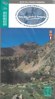 Wandelkaart Ruta dels Estanys Amagats | Editorial Alpina
Zeer gedetailleerde wandelkaart van een klein gebied. Met ingetekende wandelroutes en andere informatie. Spaanstalig, maar uitstekende kaart. Coordinaten zijn weergegeven, dus GPS compatible met UTM grid. Op de topografische wandelkaart …
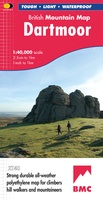 Wandelkaart Dartmoor | Harvey Maps
"This inspiring new map will help walkers and climbers explore Dartmoor's wild granite landscapes, and, like the granite, is virtually indestructible." Sir Ranulph Fiennes, adventurer and explorer. Dartmoor, the …
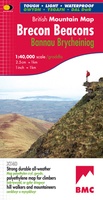 Wandelkaart Brecon Beacons | Harvey Maps
"The Brecon Beacons have an irresistible draw and this is where I began my journey to the roof of the world. The breathtaking landscape provides challenges and adventures for all …
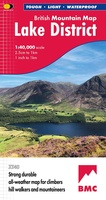 Wandelkaart Lake District | Harvey Maps
"The best Lake District map I have ever seen. The 1:40,000 scale provides clear, detailed information to one of the most popular hill walking areas in Britain." Sir Chris Bonington, …
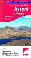 Wandelkaart Assynt & Coigach | Harvey Maps
"This is a fabulous map for a fabulous area; for the first time it shows crags, bouldering areas and clear details in what could seem a maze of rock and …
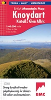 Wandelkaart Knoydart / Kintail & Glen Affric | Harvey Maps
"Clarity is the hallmark of this map. It covers magnificently honed peaks set above western seas and lochs, inviting exploration of one of Scotland's superlative and remote mountain regions", the …
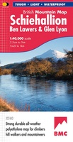 Wandelkaart Schiehallion / Ben Lawers & Glen Lyon | Harvey Maps
"I've spent most of my climbing career searching for new crags and bouldering areas and until Harvey Maps came along it was a process of trial and error. Their attention …
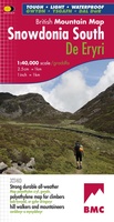 Wandelkaart Snowdonia Zuid | Harvey Maps
"The 1:40,000 scale used by British Mountain Maps is excellent for hill walking. These maps provide clear, detailed information." Sir Chris Bonington, mountaineer. The key mountains of Southern Snowdonia …
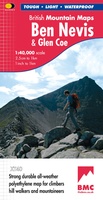 Wandelkaart Ben Nevis & Glen Coe | Harvey Maps
"This excellent Ben Nevis and Glen Coe map provides all the details needed for safe navigation on these iconic mountains". Cameron McNeish, outdoor writer and broadcaster. Detailed map for …
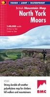 Wandelkaart North York Moors | Harvey Maps
"I’ve enjoyed and endured tough and challenging walks throughout the North York Moors, and this tough, durable, detailed map is the ideal companion and guide." Paddy Dillon, outdoor writer. …
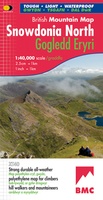 Wandelkaart Snowdonia Noord | Harvey Maps
"The 1:40,000 scale used by British Mountain Maps is excellent for hill walking. These maps provide clear, detailed information." Sir Chris Bonington, mountaineer. Snowdonia's key mountains on a single …
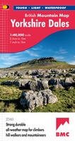 Wandelkaart Yorkshire Dales | Harvey Maps
A huge area on one map. Yorkshire Dales - the latest addition to the British Mountain Map series - is the sixth title in this highly successful & innovative range. …
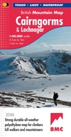 Wandelkaart Cairngorms & Lochnagar | Harvey Maps
"Inspiring map of much of Scotland's newest National Park with masses of information for walkers, mountain bikers and mountaineers. And it is virtually indestructible." Nigel Williams, Head of Training, Glenmore …
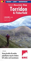 Wandelkaart Torridon & Fisherfield | Harvey Maps
"HARVEY British Mountain Maps are a joy to use. The detail and accuracy make them my first choice when I am researching a route or just out on the hills …
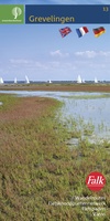 Wandelkaart 13 Staatsbosbeheer Grevelingen | Falk
Gedetailleerde kaart met daarop alle straten, bospaden en fietspaden. De kaart bevat vele wandelroutes van onder andere natuurmonumenten en staatsbosbeheer, waaronder de bekende paaltjesroutes. Ook alle andere toeristisch belangrijke punten …
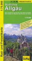 Wandelkaart 44041 Südliches Allgäu | GeoMap
Goede detailkaart van dit gebied, met wandel en fietsroutes, met vereenvoudigde cartografie. Symbolen voor o.a. campings, horeca en bezienswaardigheden. Von Leutkirch im Norden bis Imst im Süden. Von Lindau im …
★★★★★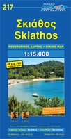 Wandelkaart 217 Skiathos | Road Editions
Gedetailleerde wegenkaart met aanduiding van de wandelwegen, lijst van hotels en toeristische informatie. Voor alle doeleinden een zeer geschikte kaart. The features that make this and every other ROAD …
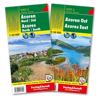 Wandelkaart 3 Azoren | Freytag & Berndt
Uitstekende set van twee wandelkaarten van de Azoren, tweezijdig, met ingetekende routes, hoogtelijnen en andere belangrijke informatie. Bovendien GPS geschikt! Sehenswürdigkeiten & Wanderwege Sights of interest & hiking paths …
★★★★★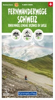 Wandelkaart Fernwanderwege Schweiz - lange-afstands wandelwegen Zwitserland | Kümmerly & Frey
Wer weiter wandert, entdeckt mehr Schweiz. Egal, ob eine gemütliche Zweitageswanderung mit Übernachtung im Hotel oder ein anspruchsvolles, mehrtägiges Hütten-Trekking. Es gibt viele Möglichkeiten und Gründe, gleich mehrere Tage zu …
Laatste reviews

De aangeschafte ‘nieuwe’ editie vd kaart is helaas weinig beter dan de vorige (ook ooit bij U aangeschaft). Veel wegen, bijv in Haa, ontbreken volledig. …
★★★★★ door Edi Gittenberger 26 november 2024 | Heeft dit artikel gekocht
Ik heb deze kaart gebruikt bij het wandelen van Zuid naar Noord Lanzarote. De kaart blijft zelfs goed bij vouwen en buigen.
★★★★★ door saar 25 november 2024 | Heeft dit artikel gekocht
Goede kaart, waterbestendig
★★★★★ door Bas 25 november 2024 | Heeft dit artikel gekocht
Was een hele goede keuze geweest. Enorm tevreden.
★★★★★ door Annet kriesels-Potters 25 november 2024 | Heeft dit artikel gekocht

