♦ North York Moors Nationaal Park
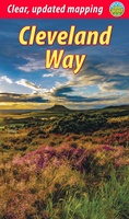 Wandelgids Cleveland Way | Rucksack Readers
“A testament to excellent research, writing and photography” - Malcolm Hodgson, Trail Manager The Cleveland Way is one of England’s oldest and best-loved National Trails. It runs for 108 …
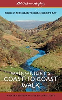 Wandelgids Wainwright's Coast to Coast Walk | Frances Lincoln
This is the first fully revised and updated edition of A. Wainwright's pocket-sized guide to the Coast to Coast Walk which he devised in the early 1970s. Over the years, …
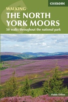 Wandelgids The North York Moors | Cicerone
Uitstekende wandelgids van dit geweldige gebied. Goed beschreven met veel praktische informatie om de routes te kunnen lopen, inclusief redelijke kaarten. Guidebook to 50 walks in the North York Moors …
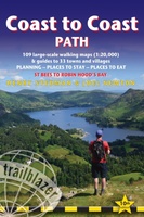 Wandelgids Coast to Coast Path: St Bees to Robin Hood's Bay | Trailblazer Guides
Goede wandelgids van de hele route van kust naar kust. Met veel details zijn alle etappes beschreven. Tevens informatie over overnachtingen en openbaar vervoer. All the information you need to …
★★★★★ Fietskaart mountainbike Coast to Coast OOST | Harvey Maps
Deze kaart toont het oostelijke deel van de route tussen Kirkby Stephen/Aysgarth en Robin Hood's Bay/Ravenscar via Richmond/Osmotherley. Er zijn meerdere alternatieve routes ingetekend op een duidelijke topografische ondergrond. …
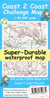 Wandelkaart Coast 2 Coast | Discovery Walking Guides
Goede scheur- en watervaste wandelkaart. The whole Coast 2 Coast on one double sided, 960mm by 694mm, map sheet. All 193 miles (308 kilometres) of the Wainwright route along with …
★★★★★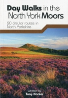 Wandelgids Day Walks the North York Moors | Vertebrate Publishing
Day Walks on the North York Moors showcases 20 circular walks, between 5 and 13.7 miles (8 and 22 kilometres) in length, suitable for hillwalkers of all abilities. The routes …
 Wandelgids North York Moors: Western Area | Hallewell Publications
Rewalked and updated in 2022, Walks North York Moors (Western Area) features walks in the North York Moors National Park - an area of picturesque moorland intersected by narrow dales, …
 Wandelgids North York Moors: Eastern Area | Hallewell Publications
Rewalked and undated in 2022, this guide features walks in Eastern part of the North York Moors National Park (OS Sheet OL27), including sections of the Cleveland Way along the …
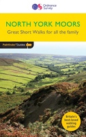 Wandelgids 013 Pathfinder Short Walks North York Moors | Ordnance Survey
 Mountainbikegids North York Moors Mountain Biking | Vertebrate Publishing
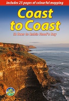 Wandelgids Coast to Coast the Wainwright Route | Rucksack Readers
Lange afstandswandelgids van de Coast to Coast wandeling. Wandelgids met kaarten en beschrijving. op waterbestendig papier, in spiraalbinding. This challenging walk of 184 miles (296 km) crosses the north of …
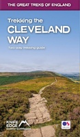 Wandelgids Trekking the Cleveland Way | Knife Edge Outdoor
The definitive two-way guide to the Cleveland Way, one of England's epic National Trails: both eastbound and westbound routes are described in full. Real Maps: Full Ordnance Survey mapping …
Laatste reviews

Kan de huidige ontstuimige ontwikkelingen wereldwijd, nu ook geografisch plaatsen en daarmee beter volgen.
★★★★★ door Leo Janssen 20 december 2024 | Heeft dit artikel gekocht
We hadden Piëmonte al eens bezocht en voor onze komende reis werd ons door kennissen deze gids aanbevolen. Inderdaad is dit een heel goede gids. …
★★★★★ door DWKdB 19 december 2024 | Heeft dit artikel gekocht
Mijn bestellingen zijn altijd goed en worden altijd op tijd geleverd. Komen afspraken goed na. Erg tevreden.
★★★★★ door Ben Wegdam 19 december 2024 | Heeft dit artikel gekocht
Zeer gedetailleerde kaart van het zuidelijke deel van het douaniers pad
★★★★★ door Marian 18 december 2024 | Heeft dit artikel gekocht

