♦ Northumberland National Park
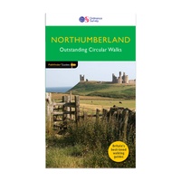 Wandelgids 087 Pathfinder Guides Northumberland | Ordnance Survey
Pathfinder® Guide to Northumberland, featuring 28 outstanding walks designed for a range of abilities covering 180 miles of walking. Features: 28 guided walks for a range of abilities …
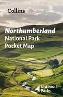 Wegenkaart - landkaart National Park Pocket Map Northumberland | Collins
Handige kleine kaart van dit Nationaal Park. De kaart geeft een goed en helder overzicht van het gebied met alle plaatsen, doorgaande wandelpaden (alhoewel grof van schaal), bezienswaardigheden etc. Met …
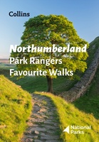 Wandelgids Park Rangers Favourite Walks Northumberland | Collins
The perfect companions for exploring the National Parks. Walking guide to the Northumberland National Park, with 20 best routes chosen by the park rangers. Each walk varies in length from …
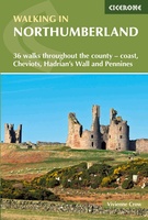 Wandelgids Walking in Northumberland | Cicerone
De wandelgidsen van Cicerone zijn toonaangevend als het gaat om kwaliteit en de hoeveelheid verschillende bestemmingen. De routes zijn helder en duidelijk beschreven, kaartmateriaal is veelal van de topografische dienst …
 Wandelgids St Oswald's Way and Northumberland Coast Path | Cicerone
This guidebook describes the St Oswald's Way and Northumberland Coast Paths, both long-distance trails through Northumberland. St Oswald's Way (156km, 97 miles) begins in Heavenfield and traverses parts of Northumberland …
 Wandelgids Day Walks in Northumberland | Vertebrate Publishing
Day Walks in Northumberlandfeatures 20 routes between 7.6 and 14.5 miles (12.2km and 23.3km) in length, spread across the coast and the countryside of Northumberland and suitable for hillwalkers of …
 Reisverhaal Dwars door Engeland | Martijn van Rijsbergen
We willen een reis maken. Mijn Vriendin en ik. Op avontuur. We kunnen de hele wereld kiezen, het wordt Groot-Brittannië. Een verslag van een reis over één van de oudste, …
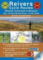 Fietskaart Reivers Cycle Routes | Northern Heritage Services
The long-distance Reivers Cycle Routes are two intertwining signed / waymarked bi-directional ‘coast to coast’ cycle routes between the North Sea and the Irish Sea. The original Reivers Cycle …
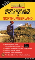 Fietskaart Cycle Touring Map of Northumberland | Northern Heritage Services
The official planner for recreational cycling and cycle touring in Northumberland and beyond. Version 3 printed 2020. Comprehensive list of promoted long distance cycle routes including: Coast and Castles …
★★★★★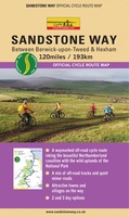 Fietskaart Sandstone Way - Northumberland Cycle Route Map | Northern Heritage Services
The Sandstone Way is a 120-mile mountain biking route between Berwick upon Tweed and Hexham that runs along the sandstone ridge in North Northumberland, linking numerous sandstone crags and outcrops. …
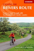 Fietsgids Cycling the Reivers Route | Cicerone
Guidebook to the Reivers Route, a 173 mile (280km) coast-to-coast cycle route across northern England and into Scotland from Tynemouth to Whitehaven. Exploring the rich history of traditional border territory, …
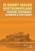 Wandelgids 15 Short Walks Northumberland: | Cicerone
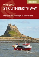 Wandelgids St Cuthbert's Way | Cicerone
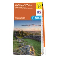 Wandelkaart - Topografische kaart OL43 OS Explorer Map Hadrian's Wall | Ordnance Survey
Een van de beste detailkaarten die er op de wereld gemaakt worden: zeer gedetailleerd, prachtig helder kleurgebruik, veel topografische aspecten en - zeer belangrijk - allerlei toeristische en recreatieve aspecten …
★★★★★
Laatste reviews

Heb de gids cadeau gedaan en die persoon was er heel blij mee ..
★★★★★ door J 21 november 2024 | Heeft dit artikel gekocht
De kaart van Kirgystan is prachtig, zeer gedetailleerd. Kan niet wachten tot de we echt op reis hmgaan die kant op.
★★★★★ door Marijke Eering 21 november 2024 | Heeft dit artikel gekocht
Super handig fiets boekje en mooi water bestendig. En handig om op de kaarten te kijken heel duidelijk beschrijving. Wij fietsen al jaren in Duitsland …
★★★★★ door Jenneke holterman 19 november 2024 | Heeft dit artikel gekocht
prima kaart levering en betaling allemaal vlot verlopen
★★★★★ door Marc Buts 19 november 2024 | Heeft dit artikel gekocht

