Wales
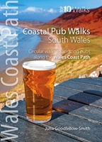 Wandelgids Coastal Pub Walks: South Wales | Northern Eye Books
South Wales’ best coastal pub walks This pocket-sized guide gives walkers ten easy, circular walks to amazing coastal pubs along the South Wales section of the Wales Coast Path. …
 Reisinspiratieboek - Wandelgids Wanderlust - Groot-Brittannië en Ierland | Kosmos Uitgevers
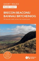 Wandelgids Brecon Beacons | Ordnance Survey
Get outside and enjoy ten short leisurely strolls across the Brecon Beacons National Park, indulging in wonderful mountain views across Southern Britain’s hilliest terrain. With routes for all abilities, enjoy …
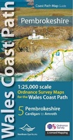 Wandelgids Pembrokeshire | Northern Eye Books
OS Map Books: Wales Coast Path: Pembrokeshire Coast Path Map Atlas | Ordnance Survey ‘Explorer’ Large-scale 1:25,000 maps for the Pembrokeshire Coast in compact book format | Pocket Atlas | …
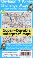 Wandelkaart National 3 Peaks Challenge Map | Discovery Walking Guides
Goede scheur- en watervaste wandelkaart. National 3 Peaks Challenge Maps. Ben Nevis, Scafell Pike and Snowdon at 20k scale. Waterproof, tearproof and 100% recyclable 820mm by 420mm double sided map …
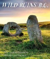 Reisgids Wild Ruins B.C.: The Explorer's Guide to Britain’s Ancient Sites | Wild Things Publishing
Discover Britain's extraordinary prehistory in this handbook to its wildest and most beautiful ancient remains. The sequel to the best-selling Wild Ruins, 18,000 copies sold. Wild ruins B.C. reveals the …
★★★★★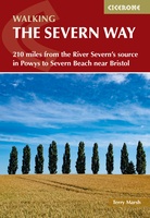 Wandelgids The Severn Way | Cicerone
Uitstekende wandelgids van de Severn Way, waarbij naast alle noodzakelijke informatie ook gebruik gemaakt wordt van de echte topografische kaart. Guidebook to walking the Severn Way, a 210 mile …
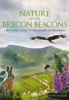 Natuurgids Nature of the Brecon Beacons | Pesda Press
Een gids met de meest voorkomende flora en fauna van de Brecon Beacons. Inclusief beschrijvingen en foto's. For most people wandering through the beautiful landscape of the Brecon Beacons …
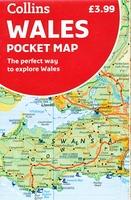 Wegenkaart - landkaart Pocket Map Wales | Collins
Kleine handzame kaart van Wales Handy little full colour map of Wales. Excellent value and very detailed for its size. Key features of this map include: • Clear mapping …
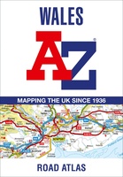 Wegenatlas Wales road atlas | A-Z Map Company
Handige wegenatlas op A5 formaat, makkelijk te gebruiken met grote letters en heel goed leesbaar. De schaal is behoorlijk gedetaileerd en zeker ook voor fietsers goed te gebruiken. Met veel …
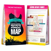 Wegenkaart - landkaart Great British Music Map | Strumpshaw, Tincleton & Giggleswick's Marvellous Maps
When it comes to music, Britain calls the tune on the world stage, playing second fiddle to nobody. This new and unique fold-out map celebrates Britain’s globe-straddling musical prowess, featuring …
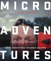 Reisgids Microadventures | Collins
Deze praktische gids staat vol met ideeën voor microadventures - om zelf of met vrienden en familie te beleven - en meer dan 150 verbluffende foto's, plus tips en advies …
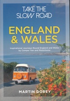 Campergids - Reisgids Take the Slow Road: England - Engeland and Wales | Bloomsbury
The ultimate guide to the very best scenic and fun routes for camper vans and motorhomes around the valleys, mountains and coastlines of wonderful England and Wales. In this book …
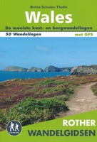 Wandelgids Wales | Uitgeverij Elmar
De Rother wandelgids Wales beschrijft de 50 mooiste kust- en bergwandelingen in het westen van het Verenigd Koninkrijk - van Pembrokeshire tot Anglesey, van de Ierse Zee tot de grens …
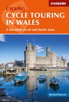 Fietsgids Cycle Touring in Wales | Cicerone
Fietsgids van een langere route door Wales met een paar short-cuts als mogelijkheden: een behoorlijke lange route en niet te onderschatten wat betreft de zwaarte. Goede beschrijvingen, heel wat praktische …
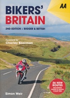 Reisgids Motorgids Bikers' Britain | AA Publishing
UItgebreide gids, met handige ringband, voor motortochten door Engeland, Wales en Schotland. 2nd edition of Bikers' Britain with updated content and 82 routes, 36 of them are brand new for …
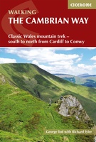 Wandelgids The Cambrian Way | Cicerone
Uitstekende wandelgids van de Cambrian Way, waarbij naast alle noodzakelijke informatie ook gebruik gemaakt wordt van de echte topografische kaart. Dubbed 'the mountain connoisseurs' walk', the Cambrian Way stretches 479km …
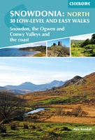 Wandelgids Snowdonia: North - Low-level and easy walks | Cicerone
This guidebook describes 30 low level and easy walks that are suitable for all abilities. The hikes covered are in the northern part of Snowdonia National Park, close to Conwy, …
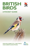 Vogelgids British Birds | Princeton University
A carefully designed and lavishly illustrated photographic guide This innovative and carefully designed photographic guide provides a concise introduction to the identification of the 246 birds most likely to be …
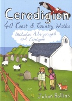 Wandelgids Ceredigion | Pocket Mountains
Handige compacte wandelgids met 40 dagwandelingen. Deze gids bevat kleine kaartjes en leuke uitgebreide informatie over wat er langs de route te zien is. Goede wandelkaarten zijn echter we noodzakelijk …
Laatste reviews

Heb de gids cadeau gedaan en die persoon was er heel blij mee ..
★★★★★ door J 21 november 2024 | Heeft dit artikel gekocht
De kaart van Kirgystan is prachtig, zeer gedetailleerd. Kan niet wachten tot de we echt op reis hmgaan die kant op.
★★★★★ door Marijke Eering 21 november 2024 | Heeft dit artikel gekocht
Super handig fiets boekje en mooi water bestendig. En handig om op de kaarten te kijken heel duidelijk beschrijving. Wij fietsen al jaren in Duitsland …
★★★★★ door Jenneke holterman 19 november 2024 | Heeft dit artikel gekocht
prima kaart levering en betaling allemaal vlot verlopen
★★★★★ door Marc Buts 19 november 2024 | Heeft dit artikel gekocht

