■ York
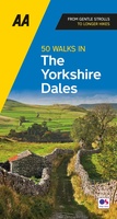 Wandelgids 50 Walks in the Yorkshire Dales | AA Publishing
Uitstekende wandelgids met een aantal dagtochten tussen de 5 en 15 kilometer. Niet heel erg lang dus, maar wel op de mooiste plekken en goed beschreven en prima kaartmateriaal. …
 Reisverhaal Dwars door Engeland | Martijn van Rijsbergen
We willen een reis maken. Mijn Vriendin en ik. Op avontuur. We kunnen de hele wereld kiezen, het wordt Groot-Brittannië. Een verslag van een reis over één van de oudste, …
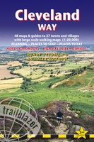 Wandelgids Cleveland Way | Trailblazer Guides
All the information you need to enjoy your hiking adventure along the Cleveland Way in this fully revised and updated 2nd edition. In the beautiful, wild countryside of the North …
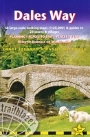 Wandelgids Dales Way | Trailblazer Guides
The popular Dales Way long-distance footpath begins in Ilkley, West Yorkshire and runs for 84 miles (135km) to end in the Lake District, in Bowness-on-Windermere. It follows riverside paths along …
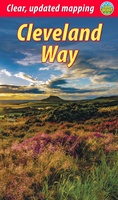 Wandelgids Cleveland Way | Rucksack Readers
“A testament to excellent research, writing and photography” - Malcolm Hodgson, Trail Manager The Cleveland Way is one of England’s oldest and best-loved National Trails. It runs for 108 …
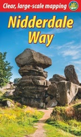 Wandelgids Nidderdale Way | Rucksack Readers
The Yorkshire Dales are famously beautiful valleys in northern England, but Nidderdale is perhaps the least known of them. Unique among the dales, this scenic valley has three large reservoirs …
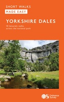 Wandelgids Yorkshire Dales | Ordnance Survey
Enjoy the magnificent waterfalls, sweeping scenery and cosy Dale pubs with ten short, leisurely walks suitable for all ages and abilities. Discover the Yorkshire Dales with its natural wonders, lush …
 Wandelgids 15 Short Walks Short Walks in Nidderdale | Cicerone
Jon Fallis has chosen 15 of the best short walks around Nidderdale in the Yorkshire Dales for you to explore. Our guide comes with easy-to-read Ordnance Survey maps and clear …
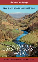 Wandelgids Wainwright's Coast to Coast Walk | Frances Lincoln
This is the first fully revised and updated edition of A. Wainwright's pocket-sized guide to the Coast to Coast Walk which he devised in the early 1970s. Over the years, …
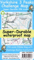 Wandelkaart Yorkshire 3 Peaks Challenge Map | Discovery Walking Guides
Goede scheur- en watervaste wandelkaart. OS 50k scale mapping is doubled in size to produce a 25k map but the features, text and logos are now doubled in size making …
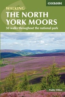 Wandelgids The North York Moors | Cicerone
Uitstekende wandelgids van dit geweldige gebied. Goed beschreven met veel praktische informatie om de routes te kunnen lopen, inclusief redelijke kaarten. Guidebook to 50 walks in the North York Moors …
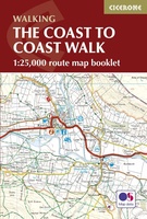 Wandelkaart The Coast to Coast Map Booklet | Cicerone
All the mapping you need to complete the 185-mile (296km) unwaymarked Coast to Coast Walk from St Bees in Cumbria to Robin Hood's Bay, North Yorkshire. This booklet of …
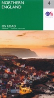 Wegenkaart - landkaart 4 OS Road Map Northern Engeland | Ordnance Survey
Een serie uitstekende wegenkaarten van Ordnance survey, de topografische dienst van Engeland. Alle 8 delen kennen een schaal van 1:250.000. Het kleurgebruik is uitbundig maar niet storend; integendeel, de hoogtes …
★★★★★★★★★★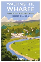 Reisverhaal Walking the Wharfe | Johno Ellison
In a world of globetrotting explorers and record-breaking journeys - of which he has been part himself - Johno Ellison decided to return to his roots and walk the entire …
 Fietskaart Yorkshire Dales | Goldeneye
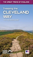 Wandelgids Trekking the Cleveland Way | Knife Edge Outdoor
The definitive two-way guide to the Cleveland Way, one of England's epic National Trails: both eastbound and westbound routes are described in full. Real Maps: Full Ordnance Survey mapping …
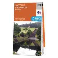 Wandelkaart - Topografische kaart 278 OS Explorer Map Sheffield & Barnsley | Ordnance Survey
Met zijn 4cm voor 1 km (2 ½ cm voor 1 mijl) schaal, is de OS Explorer kaartenserie de ideale en meest gedetailleerde kaartenreeks voor mensen die graag outdoor-activiteiten zoals …
★★★★★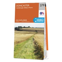 Wandelkaart - Topografische kaart 279 OS Explorer Map Doncaster | Ordnance Survey
Met zijn 4cm voor 1 km (2 ½ cm voor 1 mijl) schaal, is de OS Explorer kaartenserie de ideale en meest gedetailleerde kaartenreeks voor mensen die graag outdoor-activiteiten zoals …
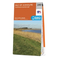 Wandelkaart - Topografische kaart 280 OS Explorer Map Isle of Axholme | Ordnance Survey
Met zijn 4cm voor 1 km (2 ½ cm voor 1 mijl) schaal, is de OS Explorer kaartenserie de ideale en meest gedetailleerde kaartenreeks voor mensen die graag outdoor-activiteiten zoals …
 Wandelkaart - Topografische kaart 281 OS Explorer Map Ancholme Valley | Ordnance Survey
Met zijn 4cm voor 1 km (2 ½ cm voor 1 mijl) schaal, is de OS Explorer kaartenserie de ideale en meest gedetailleerde kaartenreeks voor mensen die graag outdoor-activiteiten zoals …
Laatste reviews

Klein en handig compact boekje, perfect om mee te nemen voor op vakantie!!!👍🏼
★★★★★ door Mathias 11 december 2024 | Heeft dit artikel gekocht
Duidelijk, makkelijk in gebruik en mijn man (het was een kadootje voor hem)stippelt allerlei interessante tochtjes uit met jullie fijne kaarten!
★★★★★ door Joke Erkens 10 december 2024 | Heeft dit artikel gekocht
Met het arriveren van deze prachtige en overzichtelijke wegenkaart is de voorpret van het plannen van de vakantie begonnen. Ik vind het heerlijk om gebogen …
★★★★★ door Carl 10 december 2024 | Heeft dit artikel gekocht
prima kaart - goede schaal om op te lopen - veel toeristische info
★★★★★ door herman de swart 09 december 2024 | Heeft dit artikel gekocht

