♦ Yorkshire Dales Nationaal Park
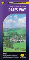 Wandelkaart Dales Way | Harvey Maps
Mooie, duidelijke kaart van de Dales Way in Noord-Engeland. Geplastificeerd met veel extra informatie en uitsnedes van de route. A leap forward in technical excellence: Tough, durable and 100% …
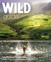 Reisgids Lake District and Yorkshire Dales | Wild Things Publishing
Imagine a summer spent swimming in mountain waterfalls, exploring lost ruins and caverns, and camping in ancient forests. In this explorer's compendium you will discover the most exciting and lesser-known …
★★★★★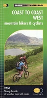 Fietskaart mountainbike Coast to Coast WEST | Harvey Maps
Deze kaart toont het westelijke deel van de route tussen St Bees/Ravenglass en Kirkby Stephen/Aysgarth via Ambleside/Windermere. Er zijn meerdere alternatieve routes ingetekend op een duidelijke topografische ondergrond. De …
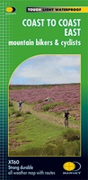 Fietskaart mountainbike Coast to Coast OOST | Harvey Maps
Deze kaart toont het oostelijke deel van de route tussen Kirkby Stephen/Aysgarth en Robin Hood's Bay/Ravenscar via Richmond/Osmotherley. Er zijn meerdere alternatieve routes ingetekend op een duidelijke topografische ondergrond. …
 Fietsgids Cycling in the Yorkshire Dales | Cicerone
This guide describes 23 day routes, graded by a combination of distance, climb and overall gradient, all suitable for road bikes and illustrated by detailed maps and profiles. In addition …
 Wandelgids The Dales Way | Rucksack Readers
This charming walk runs for 79 miles (127 km) from Ilkley in the Yorkshire Dales to Bowness in the Lake District. The route heads north through Wharfedale, crisscrossing the river, …
 Wandelgids England Nord - Engeland Noord | Rother Bergverlag
Uitstekende wandelgids met 60 dagtochten. Met praktische informatie en beperkt kaartmateriaal! Wandelingen in verschillende zwaarte weergegeven in rood/blauw/zwart. Deze wandelgidsen uitgever staat hoog aangeschreven en is een begrip onder de …
 Wandelgids Pennine Way | Aurum Press
Goede beschrijving van de aantrekkelijke route. Kaartmateriaal van Ordnance Survey - de Engelse topografische dienst op een schaal van 1:25.000. Praktische info voor overnachten ed. niet altijd uitgebreid, maar die …
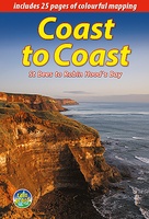 Wandelgids Coast to Coast the Wainwright Route | Rucksack Readers
Lange afstandswandelgids van de Coast to Coast wandeling. Wandelgids met kaarten en beschrijving. op waterbestendig papier, in spiraalbinding. This challenging walk of 184 miles (296 km) crosses the north of …
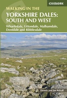 Wandelgids Walking in the Yorkshire Dales: South and West | Cicerone
Veelzijdige wandelgids van een deel van de Yorkshire Dales, goede kaarten en beschrijvingen en veel keuze uit een behoorlijk aantal wandelingen. Part of a two-book set, this guidebook describes 44 …
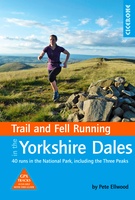 Wandelgids Trail & Fell Running In The Yorkshire Dales | Cicerone
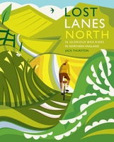 Fietsgids Lost Lanes North | Wild Things Publishing
Jack Thurston, best-selling author of the Lost Lanes series (50,000 sold) and presenter of the Bike Show, takes you on a freewheeling tour of the lost lanes and forgotten byways …
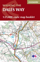 Wandelatlas The Dales Way Map Booklet | Cicerone
Heel handig bedacht van uitgever Cicerone: een boekje dat dienst doet als atlas met alle topografische kaarten die je nodig hebt voor het lopen van de Dales Way. Past goed …
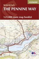 Wandelatlas Pennine Way Map Booklet | Cicerone
Heel handig bedacht van uitgever Cicerone: een boekje dat dienst doet als atlas met alle topografische kaarten die je nodig hebt voor het lopen van de Pennine Way. Past goed …
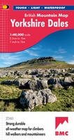 Wandelkaart Yorkshire Dales | Harvey Maps
A huge area on one map. Yorkshire Dales - the latest addition to the British Mountain Map series - is the sixth title in this highly successful & innovative range. …
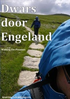 Reisverhaal Dwars door Engeland | Martijn van Rijsbergen
We willen een reis maken. Mijn Vriendin en ik. Op avontuur. We kunnen de hele wereld kiezen, het wordt Groot-Brittannië. Een verslag van een reis over één van de oudste, …
 Wandelgids Dales Way | Trailblazer Guides
The popular Dales Way long-distance footpath begins in Ilkley, West Yorkshire and runs for 84 miles (135km) to end in the Lake District, in Bowness-on-Windermere. It follows riverside paths along …
 Wandelgids Nidderdale Way | Rucksack Readers
The Yorkshire Dales are famously beautiful valleys in northern England, but Nidderdale is perhaps the least known of them. Unique among the dales, this scenic valley has three large reservoirs …
 Wandelgids Park Rangers Favourite Walks Yorkshire Dales | Collins
Compacte wandelgids met 20 wandelingen geselecteerd door park rangers en met duidelijke beschrijvingen en routekaartjes. Walking guide to the Yorkshire Dales National Park, with 20 best routes chosen by …
 Wegenkaart - landkaart National Park Pocket Map Yorkshire Dales | Collins
Handige kleine kaart van dit Nationaal Park. De kaart geeft een goed en helder overzicht van het gebied met alle plaatsen, doorgaande wandelpaden (alhoewel grof van schaal), bezienswaardigheden etc. Met …
★★★★★
Laatste reviews

Heb de gids cadeau gedaan en die persoon was er heel blij mee ..
★★★★★ door J 21 november 2024 | Heeft dit artikel gekocht
De kaart van Kirgystan is prachtig, zeer gedetailleerd. Kan niet wachten tot de we echt op reis hmgaan die kant op.
★★★★★ door Marijke Eering 21 november 2024 | Heeft dit artikel gekocht
Super handig fiets boekje en mooi water bestendig. En handig om op de kaarten te kijken heel duidelijk beschrijving. Wij fietsen al jaren in Duitsland …
★★★★★ door Jenneke holterman 19 november 2024 | Heeft dit artikel gekocht
prima kaart levering en betaling allemaal vlot verlopen
★★★★★ door Marc Buts 19 november 2024 | Heeft dit artikel gekocht