Ierland
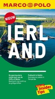 Reisgids Marco Polo NL Ierland | 62Damrak
Marco Polo reisgids voor Ierland. Handig pocketformaat, boordevol informatie, met uitneembare kaart achter in het boek en atlas-pagina's. Met Insider Tips om het échte Ierland te ontdekken en de TOP …
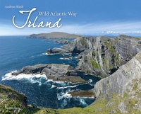
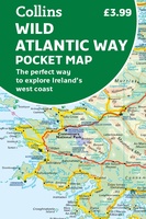 Wegenkaart - landkaart Pocket Map Wild Atlantic Way | Collins
Handy full-colour map of Ireland’s Wild Atlantic Way with a high level of detail. Clear mapping of the full 2500 km (over 1500 miles) route, showing the road network and …
★★★★★★★★★★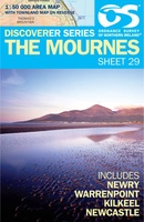 Wandelkaart 29 Discoverer The Mournes | Ordnance Survey Northern Ireland
Zeer gedetailleerde topografische kaart met een aantal toegevoegde toeristische symbolen voor bijv. bezienswaardigheden, campings en jeugdherbergen. Met hoogtelijnen, mooi kleurgebruik en ingetekende lange-afstands-wandelroutes. Op deze kaart zijn de nationale parken …
★★★★★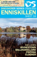 Wandelkaart 18 Discoverer Enniskillen | Ordnance Survey Northern Ireland
Zeer gedetailleerde topografische kaart met een aantal toegevoegde toeristische symbolen voor bijv. Bezienswaardigheden en campings. Met hoogtelijnen, mooi kleurgebruik en ingetekende lange-afstands-wandelroutes. OSNI has replaced the One-Inch maps with …
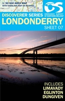 Wandelkaart 07 Discoverer Londonderry | Ordnance Survey Northern Ireland
Zeer gedetailleerde topografische kaart met een aantal toegevoegde toeristische symbolen voor bijv. Bezienswaardigheden en campings. Met hoogtelijnen, mooi kleurgebruik en ingetekende lange-afstands-wandelroutes. OSNI has replaced the One-Inch maps with …
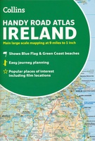 Wegenatlas Handy Road Atlas Ireland - Ierland | Collins
Handzame wegenatlas op A5 formaat van Ierland. Vrij grove schaal maar heel handig door formaat en goed kaartbeeld. Met enkele stadsplattegronden en een paar pagina's met hoogtepunten van het land. …
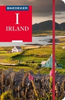 Reisgids Irland - Ierland | Baedeker Reisgidsen
Een van de beste en meest complete reisgidsen van het land. Een klassieker in het Duits! Met heel veel informatie over alles wat je maar kunt bedenken, inclusief een losse …
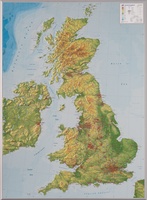 Reliëfkaart Great Britain & Ireland - Groot Brittannië & Ierland | GeoRelief
De uitgever van de kaart is de bekende Duitse uitgever GeoRelief. Deze topografische kaart van Groot Brittannië heeft een hoge kwaliteit met prachtige kleuren. De kaart bevat de namen van …
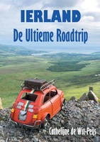 Reisgids Ierland: De Ultieme Roadtrip | Daniël van de Velde
Cathelijne de Wit-Peijs woont in Ierland en werkt met haar bedrijf Witty Walks als gids in Dublin en de Wicklow Mountains. Tijdens haar tours krijgt zij regelmatig de vraag: “Wat …
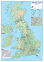 Wandkaart Engeland - British Isles roadplanning wall map, 84 X 119 cm | Maps International
Routeplanner map from Maps International's selection of British Isles maps. Routeplanning map details: British Isles routeplanning map shows the motorways, major roads and transport hubs such as airports and …
 Fotoboek Irland | Tecklenborg
Irlands spektakuläre Küstenstraße Von den malerischen Küstenstädtchen im Süden bis zur windgepeitschten Landzunge Malin Head im äußersten Norden schlängelt sich der Wild Atlantic Way entlang der Westküste Irlands. Die …
 Reisgids Ireland The Best 100 Places | Collins
Sally and John McKenna, travel and food writers and authors of IRELAND THE BEST, have selected 100 extraordinary places that epitomise what is truly great about Ireland. This personal and …
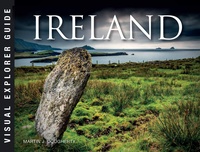 Fotoboek Ireland | Amber Books
Become a visual explorer through more than 200 stunning images that celebrate the beautiful country, culture, and history of Ireland. Ireland holds a special place in people's hearts--even for many …
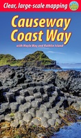 Wandelgids Causeway Coast Way | Rucksack Readers
Uitgevoerd in de vorm van een klapper, met ringband geeft deze gids een goede beschrijving van de lange afstands route. De kaarten zijn schetsmatig maar wel duidelijk. The unspoiled Causeway …
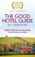 Accommodatiegids - Bed and Breakfast Gids The Good Hotel Guide Great Britain & Ireland | Good hotel guide
The Good Hotel Guide is the leading independent guide to hotels in Great Britain and Ireland. It is written for the reader seeking impartial advice on finding a good place …
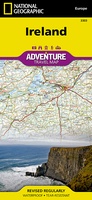 Wegenkaart - landkaart 3303 Adventure Map Ireland - Ierland | National Geographic
Wegenkaart van Ierland met vermelding van veel bezienswaardigheden, nationale parken en attrakties. Watervast en scheurvast. Juist door deze vermeldingen onderscheidt de kaart zich van andere wegenkaarten. National Geographic's Ireland Adventure …
★★★★★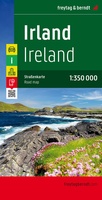 Wegenkaart - landkaart Ierland | Freytag & Berndt
Goede tweezijdige wegenkaart van het hele land. Met register en enkele stadsplattegronden. De berijdbare wegen zijn goed weergeven, zowel de hoofdwegen als provinciale en lokale wegen; wegnummers worden vermeld. …
★★★★★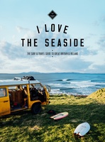 Reisgids I love the seaside Great Britain - Ireland, Groot Brittannie en Ierland | Mo'Media | Momedia
The I Love the Seaside Surf & Travel Guide to Great Britain & Ireland is a 464-page printed book (English language) exploring the (surf) coast of Britain and Ireland. From …
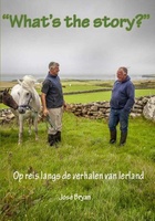 Reisverhaal What's the story? | José Bryan
“WHAT’S THE STORY?” Op reis langs de verhalen van Ierland Weergaloos nieuw boek dat je, met een lach en een traan, meeneemt op reis naar het mystieke Ierland. De schrijfster …
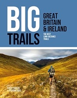 Wandelgids Great Britain & Ireland | Vertebrate Publishing
Big Trails: Great Britain & Ireland is an inspirational guide to the most iconic, spectacular and popular long-distance trails in England, Scotland, Wales, Northern Ireland, Ireland and the Isle of …
Laatste reviews

Kan de huidige ontstuimige ontwikkelingen wereldwijd, nu ook geografisch plaatsen en daarmee beter volgen.
★★★★★ door Leo Janssen 20 december 2024 | Heeft dit artikel gekocht
We hadden Piëmonte al eens bezocht en voor onze komende reis werd ons door kennissen deze gids aanbevolen. Inderdaad is dit een heel goede gids. …
★★★★★ door DWKdB 19 december 2024 | Heeft dit artikel gekocht
Mijn bestellingen zijn altijd goed en worden altijd op tijd geleverd. Komen afspraken goed na. Erg tevreden.
★★★★★ door Ben Wegdam 19 december 2024 | Heeft dit artikel gekocht
Zeer gedetailleerde kaart van het zuidelijke deel van het douaniers pad
★★★★★ door Marian 18 december 2024 | Heeft dit artikel gekocht