Wegenatlassen - Ierland
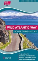 Wegenatlas The Wild Atlantic Way Ierland | Xploreit Maps
Yvonne Gordon provides an essential guide to Ireland's epic coastal driving route - the Wild Atlantic Way. In this newly revised and updated edition she divides the route into 16 …
★★★★★★★★★★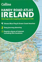 Wegenatlas Handy Road Atlas Ireland - Ierland | Collins
Handzame wegenatlas op A5 formaat van Ierland. Vrij grove schaal maar heel handig door formaat en goed kaartbeeld. Met enkele stadsplattegronden en een paar pagina's met hoogtepunten van het land. …
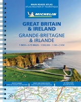 Wegenatlas Great Britain and Ireland 2024 - Main Roads Atlas (A4-Spiral) | Michelin
Full of practical features, the Michelin Great Britain & Ireland 2024 - Main Roads Atlas (A4-Spiral) is the perfect companion for your everyday journey and holiday planning. Updated every year, …
★★★★★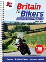 Wegenatlas Britain for Bikers | Voor Motoren | A-Z Map Company
Discover the best biking routes around Great Britain and Northern Ireland. Your essential rideout roadbook covering the best biking routes around Great Britain and Northern Ireland, including short trips and …
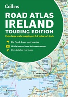 Wegenatlas Road Atlas Ireland | Collins
Explore Ireland with this accurate and fully updated road atlas. This road atlas is at A4 size, covering the whole of Ireland and features clear and detailed Collins colour mapping …
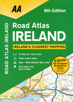 Wegenatlas Road Atlas Ireland - Ierland | AA Publishing
Handige wegenatlas van Ierland en Noord-Ierland, schaal 1:200.000. Met 10 stadsplattegronden: Belfast, Cork, Londonderry, Dublin, Galway, Killarney, Kilkenny, Limerick, Sligo and Waterford. Created from brand new mapping data, this atlas …
★★★★★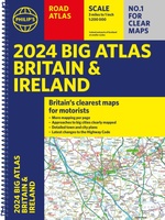 Wegenatlas Big Atlas Britain & Ireland 2023 A3-Formaat | Philip's Maps
Goede gedetailleerde wegenatlas van Groot-Brittannië, schaal 1:200.000 met een overzichtskaart van Ierland, schaal 1:1.000.000. Groot formaat, A3, en in ringband. Philip's is No. 1 in the UK for clear maps …
★★★★★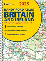 Wegenatlas 2025 Collins Handy Road Atlas Britain and Ireland | Collins
Handzame A5 wegenatlas van Engeland, Wales, Schotland en Ierland met register en stadsplattegronden This easy-to-use, handy A5 sized road atlas with popular lie-flat spiral binding features extremely clear route planning …
★★★★★ Wegenatlas Great Britain and Northern Ireland Road Atlas 2024 | A-Z Map Company
A full-colour, paperback road atlas of Great Britain, now fully revised and updated. Clear detailed road mapping at a scale of 3.5 miles to 1 inch. Presented in a large, …
 Wegenatlas Philip's Easy to Read Road Atlas of Britain 2025 | A3-Formaat | Paperback | Philip's Maps
With the detail you need at a size you can read, the latest edition of 2025 Philip's Big Easy to Read Road Atlas of Britain is super-clear, super-sized and bang …
 Wegenatlas Official Roadatlas of Ireland - Ierland | Ordnance Survey Ireland
Mooie atlas met bijzonder kleurgebruik. Hoogte wordt hierdoor zeer duidelijk weergegeven. Met alle noodzakelijke en toeristische informatie, afstandentabel, stadsplattegronden en register . In ringband uitgevoerd tussen A4 en A5 qua …
★★★★★ Wegenatlas Ireland Comprehensive Road Atlas - Ierland | Collins
Duidelijke en gedetailleerde atlas voor Ierland in A4-formaat met ringband. Clear, detailed road atlas of Ireland in a handy A4 spiral-bound format. This comprehensive, general purpose road atlas of …
★★★★★★★★★★ Wegenatlas Big Road Atlas Britain and Northern Ireland 2025 | A3 | Ringband | Collins
Grote wegenatlas, a3-formaat in ringband. The ultimate 3.2 miles to 1 inch scale large-format, spiral-bound road atlas of Britain, featuring Collins’ popular and well established road mapping, and designed for …
Laatste reviews

Op de hoogte gehouden van de vertraging. Zodra binnen, snel verstuurd. Hartelijk dank!
★★★★★ door Els van Blokland 24 april 2024 | Heeft dit artikel gekocht
Wij zijn erg blij met deze wandelkaart, alles staat zeer duidelijk aangegeven, voordeel is dat de kaart geplastificeerd is, deze kaart is het geld zeker …
★★★★★ door Rene van den Driesche 24 april 2024 | Heeft dit artikel gekocht
Uit het ruime aanbod kaarten een kaart met veel details gekozen, waarmee de voorbereiding van reis leuk wordt
★★★★★ door Ad 24 april 2024 | Heeft dit artikel gekocht
Handige informatieve kaart van de kust van Normandie van D Day.Wij gebruiken de kaart voor het voorbereiden van de Herdenking 80 jaar.
★★★★★ door Mary 24 april 2024 | Heeft dit artikel gekocht