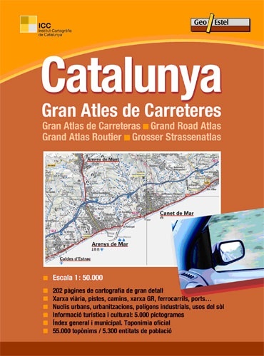
Wegenatlas Catalunya - Catalonië | Geoestel (9788415237105)
- ISBN / CODE: 9788415237105
- Editie: 2012
- Aantal blz.: 312
- Schaal: 1:50000
- Uitgever: Geoestel
- Soort: Wegenatlas
- Taal: Engels
- Uitvoering: -
- Bindwijze: -
- Schrijf als eerste een review
-
€ 30,95
Uitverkocht, nooit meer leverbaar
Beschrijving
De meest complete en gedetailleerde atlas van Catalonië ooit gepubliceerd! Heel Catalonië in 1 op vijftigduizend! Met GR-wandelroutes. Groot formaat (groter dan a4), met register.
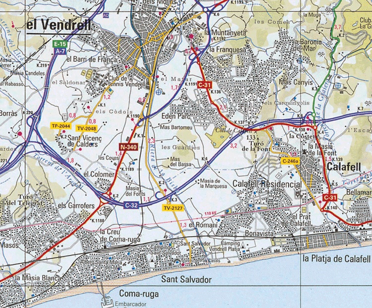
The Gran Atles de Carreteres de Catalunya (1:50 000) is the most complete and detailed atlas of Catalonia ever published. The conception of the work, the detail in the execution, the technical precision and the extraordinary volume of information contained make it a worldwide work of reference.
Continuity of cartographic representation in all the atlas with a unit of reading for each double page between the sheets. • 202 pages of cartography of big detail • Road Network, tracks, paths, network GR, railways, ports… • Urban Cores, urbanisations, industrial polygons, uses of the soil • Tourist and cultural Information: 5.000 pictograms • General and municipal Index. Official toponymy • 55.000 toponyms / 5.300 entities of population
Reviews
Geen reviews gevonden voor dit product.
Schrijf een review
Graag horen wij wat u van dit artikel vindt. Vindt u het goed, leuk, mooi, slecht, lelijk, onbruikbaar of erg handig: schrijf gerust alles op! Het is niet alleen leuk om te doen maar u informeert andere klanten er ook nog mee!
Ook interessant voor europa/spanje/catalonie
-

Wegenkaart - landkaart Mapa Provinci
€ 9,95Wegenkaarten Catalonië -

Campergids 28 Entdeckertouren mit de
€ 27,50Campergidsen Catalonië -

Reisgids Marco Polo NL Costa Brava |
€ 14,95Reisgidsen Catalonië -

Wandelgids IN02 Catalogne à pied | F
€ 12,50Wandelgidsen Catalonië -

Wandelkaart El Port - Catalonië | Ed
€ 24,95Wandelkaarten Catalonië