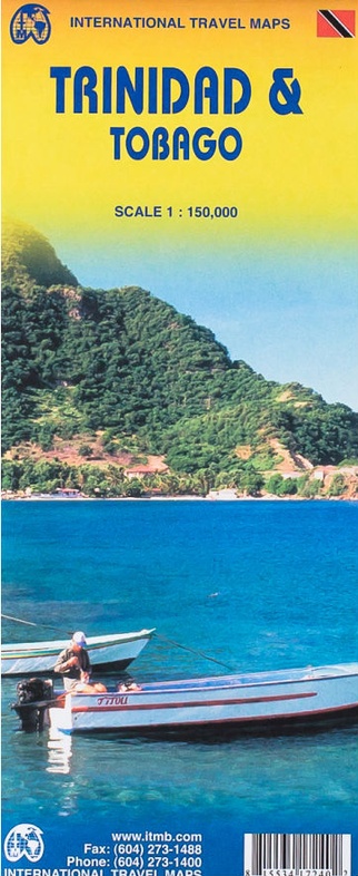
Wegenkaart - landkaart Trinidad & Tobago | ITMB (9781553417248)
- ISBN / CODE: 9781553417248
- Editie: 2011
- Schaal: 1:150000
- Uitgever: ITMB
- Soort: Wegenkaart
- Taal: Engels
- Schrijf als eerste een review
-
€ 13,95
Op voorraad. Voor 17.00 uur op werkdagen besteld, morgen in huis in Nederland Levertijd Belgie
Gratis verzending in Nederland vanaf €35,-
Beschrijving
This is our newest map for the Caribbean region and essentially replaces the now-defunct Rough Guide map for this country. Trinidad has a chequered history. First ‘discovered’ by Columbus, and named Holy Trinity, its inhabitants were fairly quickly deported as slaves to work in Spanish colonies elsewhere. Sir Walter Raleigh, who was little more than a pirate in spite of later saving England from the Spanish Armada, sacked the only Spanish settlement in 1595. Britain captured the island in 1797, adding Tobago to its administration in 1889. The country’s two claims to fame are the largest Carnival street festival in the world, and having the world’s largest lake of boiling asphalt. Tobago has an amazing history, having changed colonial masters 30 times in a century, as Britain, France, and Spain competed for dominance in the Caribbean. Nowadays, both islands are tourist havens, with delightful caves to explore on Trinidad and scuba diving on Tobago. This is a very detailed map, printed on paper, single-sided.
Reviews
Geen reviews gevonden voor dit product.
Schrijf een review
Graag horen wij wat u van dit artikel vindt. Vindt u het goed, leuk, mooi, slecht, lelijk, onbruikbaar of erg handig: schrijf gerust alles op! Het is niet alleen leuk om te doen maar u informeert andere klanten er ook nog mee!
Ook interessant voor midden-amerika/trinidad-en-tobago
-

Vogelgids Field Guide to Birds of th
€ 34,95Vogelgidsen Aruba -

Wegenatlas Travel Atlas Caribbean Is
€ 16,50Wegenatlassen Aruba -

Waterkaart Caribbean Cruising | ITMB
€ 14,95Waterkaarten Aruba -

Reisgids Caribbean Cruises | Insight
€ 25,95Reisgidsen Antigua -

Wegenkaart - landkaart Trinidad & To
€ 13,95Wegenkaarten Trinidad & Tobago