Kaarten - Western Australia - West Australië
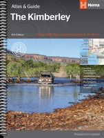 Wegenatlas The Kimberley Atlas & Guide | Hema Maps
A4 formaat, spiraal gebonden, verschillende schalen This guide is jam-packed with information on what to do and see in the Kimberley. Travel writer Denis O'Byrne gives information on the Kimberley's …
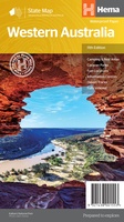 Wegenkaart - landkaart Western Australia state map | Hema Maps
Goede, overzichtelijke, leesbare kaart van de hele provincie. Nationale Parken zijn er goed op te vinden en de afstanden worden weergegeven. Op de achterkant nog deelkaartjes van enkele steden en …
★★★★★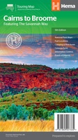 Wegenkaart - landkaart Savannah Way - Cairns to Broome | Hema Maps
Detailkaart van een deel van Australië. Zeer goed leesbaar, met naast de topografische details veel symbolen waarmee allerhande toeristische zaken worden aangeduid als campsites, nationale parken, attracties, wandelmogelijkheden etc. Find …
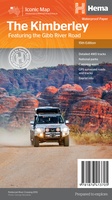 Wegenkaart - landkaart Iconic Map The Kimberley - Gibb River road | Hema Maps
Detailkaart van een deel van Australië. Zeer goed leesbaar, met naast de topografische details veel symbolen waarmee allerhande toeristische zaken worden aangeduid als campsites, nationale parken, attracties, wandelmogelijkheden etc. A …
★★★★★★★★★★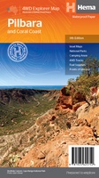 Wegenkaart - landkaart Pilbara and the Coral Coast | Hema Maps
Detailkaart van een deel van Australië. Zeer goed leesbaar, met naast de topografische details veel symbolen waarmee allerhande toeristische zaken worden aangeduid als campsites, nationale parken, attracties, wandelmogelijkheden etc. One …
★★★★★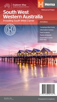 Wegenkaart - landkaart South West Western Australia | Hema Maps
Hema's South West Western Australia Map features unequalled road and track information for this picturesque corner in Australia's largest state. A regional map for discovering South West Western Australia (WA). …
★★★★★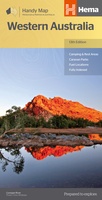 Wegenkaart - landkaart Western Australia - West Australië state handy map | Hema Maps
Duidelijke, handzame kaart van Western Australia. Zeer goed leesbaar, met naast de topografische details veel symbolen waarmee allerhande toeristische zaken worden aangeduid als campsites, nationale parken, attracties, wandelmogelijkheden etc. Great for …
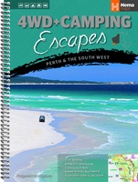 Wegenatlas - Campinggids 4WD + Camping Escapes - Perth & the South West | Hema Maps
4WD + Camping Escapes – Perth & the South West is a guide to the best four-wheel driving and camping locations in South West Western Australia. Each regional section outlines …
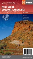 Wegenkaart - landkaart Explorer Map Mid West Western Australia - West Australië | Hema Maps
Mapping of Mid West Western Australia that has camping areas, national parks, fuel supplies and facility symbols marked on the map. On the reverse is region-specific touring information for Wildflower …
★★★★★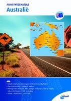 Wegenatlas Australië | ANWB Media
Ga goed voorbereid op reis met de nieuwe ANWB Wegenatlas Australië. De ANWB Wegenatlas Australië is gedetailleerd en mooi van vormgeving. Met informatie over cultuur, actieve recreatie en een uitgebreid …
 Wegenkaart - landkaart - Stadsplattegrond Perth and Region | Hema Maps
A map that has the Perth suburbs (1:80,000) and Perth city (1:15,000) maps on one side and the Perth region (1:750,000) and Fremantle (1:20,000) maps on the other. Included is …
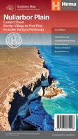 Wegenkaart - landkaart Explorer Map Nullarbor Plain - Eastern Map | Hema Maps
This map is part of Hema's new Nullarbor Plain Map Series (East and West) and covers Border Village to Port Pirie including the Eyre Peninsula. Truly one of the …
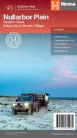 Wegenkaart - landkaart Explorer Map Nullarbor Plain - Western Map | Hema Maps
This map is part of Hema's new Nullarbor Plain Map Series and covers the area from Kalgoorlie to Border Village and its surrounds. Truly one of the worlds great …
 Wegenkaart - landkaart Planning Map Western Australia | Lonely Planet
Lonely Planet: The world's number one travel guide publisher* Durable and waterproof, with a handy slipcase and an easy-fold format, Lonely Planet's Western Australia Planning Map helps you explore with …
 Wegenkaart - landkaart Western Australia | ITMB
The State of Western Australia occupies the western third of the continental country of Australia. The main city is Perth, in the southwest portion, and this is the part of …
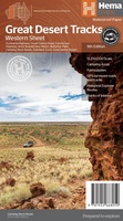 Wegenkaart - landkaart Great Desert Tracks West | Australië | Hema Maps
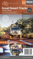 Wegenkaart - landkaart Great Desert Tracks Centraal |Australië | Hema Maps
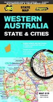 Wegenkaart - landkaart 619 Western Australia State & Cities | UBD Gregory's
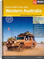 Wegenatlas Western Australia 4WD Track atlas | A4 | Ringband | Hema Maps★★★★★
 Wegenkaart - landkaart Australia West - Australië West | Reise Know-How Verlag★★★★★
Laatste reviews

Heb de gids cadeau gedaan en die persoon was er heel blij mee ..
★★★★★ door J 21 november 2024 | Heeft dit artikel gekocht
De kaart van Kirgystan is prachtig, zeer gedetailleerd. Kan niet wachten tot de we echt op reis hmgaan die kant op.
★★★★★ door Marijke Eering 21 november 2024 | Heeft dit artikel gekocht
Super handig fiets boekje en mooi water bestendig. En handig om op de kaarten te kijken heel duidelijk beschrijving. Wij fietsen al jaren in Duitsland …
★★★★★ door Jenneke holterman 19 november 2024 | Heeft dit artikel gekocht
prima kaart levering en betaling allemaal vlot verlopen
★★★★★ door Marc Buts 19 november 2024 | Heeft dit artikel gekocht

