Wegenkaarten - Oceanië
 Wegenkaart - landkaart Australia South & Northern Territory | ITMB
Australia was one of the first countries ITMB published, back in the 1980s, albeit a licensed version. Our own original artwork was completed in the mid-1990s, but until recently, we …
 Wegenkaart - landkaart Western Australia | ITMB
The State of Western Australia occupies the western third of the continental country of Australia. The main city is Perth, in the southwest portion, and this is the part of …
 Wegenkaart - landkaart New Zealand North Island | ITMB
ITMB is very pleased to be expanding our coverage of New Zealand with the release of this fourth title (the others being the country map, the South Island, and Auckland). …
 Wegenkaart - landkaart Iconic Map The High Country | Hema Maps
Detailkaart van een deel van Australië. Zeer goed leesbaar, met naast de topografische details veel symbolen waarmee allerhande toeristische zaken worden aangeduid als campsites, nationale parken, attracties, wandelmogelijkheden etc. This …
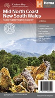 Wegenkaart - landkaart Explorer Map Mid North Coast, New South Wales | Hema Maps
Detailkaart van een deel van Australië. Zeer goed leesbaar, met naast de topografische details veel symbolen waarmee allerhande toeristische zaken worden aangeduid als campsites, nationale parken, attracties, wandelmogelijkheden etc. A …
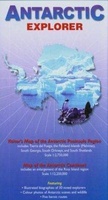 Wegenkaart - landkaart Antarctic Explorer | Ocean Explorer Maps
An excellent foldout map of Antarctica. On one side there is a map of the Antarctic continent, around which succinct biographies of Antarctic explorers from William Spiers Bruce to Edward …
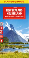 Wegenkaart - landkaart Nieuw Zeeland - New Zealand | Marco Polo
Duidelijke wegenkaart van Marco Polo: alle wegen, zowel de verharde als belangrijke onverharde wegen zijn weergegeven. Mooie toeristisch interessante wegen die de moeite waard zijn, zijn groen gearceerd. Veel toeristische …
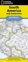 Wegenkaart - landkaart South America and Antarctica | National Geographic
• Waterproof • Tear-Resistant • Reference Map Expertly researched and designed, National Geographic's South America and Antarctica Flags & Facts Map is the authoritative map of South America by …
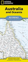 Wegenkaart - landkaart Australia and Oceania | National Geographic
• Waterproof • Tear-Resistant • Reference Map Expertly researched and designed, National Geographic's Australia and Oceania Flags & Facts Map is the authoritative map of Australia by which other …
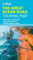 Wegenkaart - landkaart Touring Maps The Great Ocean Road | Collins
Full color, informative map of the popular Great Ocean Road. With detailed mapping, key tourist information and a suggested itinerary, this is a perfect guide for anyone traveling around Australia’s …
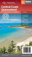 Wegenkaart - landkaart Explorer Map Cebtral Coast Queensland | Hema Maps
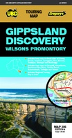 Wegenkaart - landkaart 386 Gippsland Discovery | UBD Gregory's
 Wegenkaart - landkaart 383 Bendigo / Shepparton | UBD Gregory's
 Wegenkaart - landkaart 345 Melbourne to Adelaide | UBD Gregory's
 Wegenkaart - landkaart 780/781 Hobart SE Tasmania & Launceston | UBD Gregory's
 Wegenkaart - landkaart 280 Newcastle Suburban Streets | UBD Gregory's
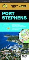 Wegenkaart - landkaart 295 Port Stephens | UBD Gregory's
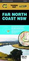 Wegenkaart - landkaart 296 Far North Coast NSW | UBD Gregory's
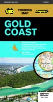 Wegenkaart - landkaart 404 Gold Coast | UBD Gregory's
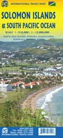 Wegenkaart - landkaart Solomon Islands - Salomon eilanden / Zuid-Pacifische oceaan | ITMB
Laatste reviews

Heb de gids cadeau gedaan en die persoon was er heel blij mee ..
★★★★★ door J 21 november 2024 | Heeft dit artikel gekocht
De kaart van Kirgystan is prachtig, zeer gedetailleerd. Kan niet wachten tot de we echt op reis hmgaan die kant op.
★★★★★ door Marijke Eering 21 november 2024 | Heeft dit artikel gekocht
Super handig fiets boekje en mooi water bestendig. En handig om op de kaarten te kijken heel duidelijk beschrijving. Wij fietsen al jaren in Duitsland …
★★★★★ door Jenneke holterman 19 november 2024 | Heeft dit artikel gekocht
prima kaart levering en betaling allemaal vlot verlopen
★★★★★ door Marc Buts 19 november 2024 | Heeft dit artikel gekocht