Superwalker XT25 maps
De ultieme kaarten voor wandelaars: ontdek de Super Walker XT25 Maps van Harvey Maps
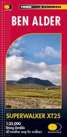 Wandelkaart Ben Alder | Harvey Maps
Superwalker is designed to be the most practical tool for navigation outdoors. The Superwalker XT25 is based on original HARVEY mapping with all the information a walker would expect on …
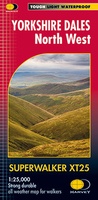 Wandelkaart Yorkshire Dales Noord-West | Harvey Maps
The Yorkshire Dales National Park on just 4 sheets. Yorkshire Dales North West: The coverage of this map includes The Howgill Fells, upper Wensleydale and upper Swaledale. Genuine original HARVEY …
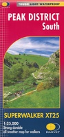 Wandelkaart Peak District South | Harvey Maps
Een bijzonder handige kaart van dit gebied. Op waterafstotend papier met veel details. Covers the area from Buxton to Matlock. Includes Leek, the Roaches and Dovedale. Detailed map for …
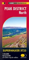 Wandelkaart Peak District Noord | Harvey Maps
New, Superwalker XT25 of the Peak District. Revised and re-designed It's got everything! Genuine original HARVEY mapping at 1:25,000. Ideal for walking. Clear, easy to read. Easy to re-fold. Opens …
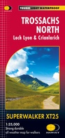 Wandelkaart Trossachs Noord / Loch Lyon / Crianlarich | Harvey Maps
More than a map - an essential piece of equipment. This new generation HARVEY Superwalker is designed to be the most practical tool for navigation outdoors. - Includes the iconic …
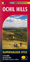 Wandelkaart Ochil Hills | Harvey Maps
Superwalker is designed to be the most practical tool for navigation outdoors. The format gives more mapping on the sheet without making the map heavy and bulky. The fold has …
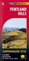 Wandelkaart Pentland Hills | Harvey Maps
The whole of the Pentlands on one side of one sheet. More than a map, an essential piece of equipment this new generation HARVEY Superwalker is designed to be the …
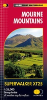 Wandelkaart Mourne Mountains | Harvey Maps
The Mournes, a granite mountain range in County Down, includes the highest mountains in Northern Ireland. The highest is Slieve Donard at 850 metres. Detailed map for hillwalkers of …
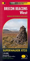 Wandelkaart Brecon Beacons West | Harvey Maps
Includes Pen y Fan, Foel Fraith, Fan Fawr and Fan Gyhirych. Detailed map for hillwalkers of the western part of the Brecon Beacons National Park at the popular scale …
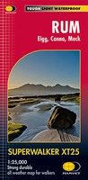 Wandelkaart Rum, Eigg, Canna, Muck | Harvey Maps
More than "just" a map, this map is an essential piece of equipment, this new generation of HARVEY Superwalkers is designed to be the most practical tool for navigation outdoors. …
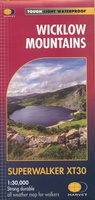 Wandelkaart Wicklow Mountains | Harvey Maps
Zeer duidelijke kaart van de Wicklow Mountains in Ierland. Met o.a. hoogtelijnen en geschikt voor gebruik met GPS. HARVEY Superwalker map at 1:30,000 scale. Clear, easy to use, waterproof. GPS …
★★★★★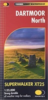 Wandelkaart Dartmoor Noord | Harvey Maps
The whole of Dartmoor on two Maps. Dartmoor's famous Tors including Haytor Rocks and Yes Tor. The format gives more mapping on the sheet without making the map heavy and …
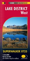 Wandelkaart Lake District West | Harvey Maps
New Superwalker XT25 of the Lake District Revised and re-designed. It's got everything! Genuine original HARVEY mapping at 1:25,000. Clear, easy to read. Easy to re-fold. Opens directly to either …
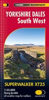 Wandelkaart Yorkshire Dales Zuid-West | Harvey Maps
The Yorkshire Dales National Park on just 4 sheets. Yorkshire Dales South West: The coverage of this map includes Yorkshire Three Peaks, Whernside, Ingleborough and Pen-y-Ghent. Genuine original HARVEY mapping …
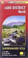 Wandelkaart Lake District Noord | Harvey Maps
New Superwalker XT25 of the Lake District. Revised and re-designed It's got everything! Genuine original HARVEY mapping at 1:25,000. Clear, easy to read. Easy to re-fold. Opens directly to either …
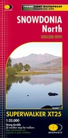 Wandelkaart Snowdonia Noord /Snowdon,Glyders,Carnedds | Harvey Maps
New Revised Edition and Format. More than a map, an essential piece of equipment this new generation HARVEY Superwalker is designed to be the most practical tool for navigation outdoors. …
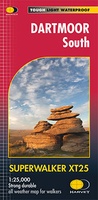 Wandelkaart Dartmoor Zuid | Harvey Maps
The whole of Dartmoor on two Maps. Dartmoor's famous Tors including Haytor Rocks and Yes Tor. The format gives more mapping on the sheet without making the map heavy and …
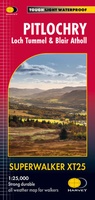 Wandelkaart Pitlochry Loch Tummel & Blair Atholl | Harvey Maps
Detailed map for hillwalkers of Pitlochry, Loch Tummel and Blair Atholl at the popular 1:25,000 scale. Includes Ben Vrackie, Beinn a’ Ghlo and Pass of Killiecrankie. Shows Aberfeldy in …
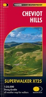 Wandelkaart Cheviot Hills | Harvey Maps
Includes the Cheviot, Newton Tors and Kirknewton. Detailed map for hillwalkers and cyclists of the Cheviot Hills at 1:25,000 scale. Includes the northern section of the Pennine Way from Brownhart …
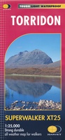 Wandelkaart Torridon | Harvey Maps
Een bijzonder handige kaart van dit gebied. Op waterafstotend papier met veel details. ncludes Slioch, Beinn Eighe, Liathach and Beinn Alligin. Detailed map for hillwalkers of the Torridon Hills …
Laatste reviews

We hebben een landkaart van Albanië besteld. Deze hebben we in goede staat ontvangen
★★★★★ door Ida van der Heiden 26 april 2024 | Heeft dit artikel gekocht
Zoals gewend van de Alpverein weer een mooie en duidelijke kaart voor dit mooie wandelgebied incl. hutten.
★★★★★ door B van R 26 april 2024 | Heeft dit artikel gekocht
Duidelijke en mooie kaart van het gebied. Oogt stevig/dik waardoor niet snel kapot tijdens wandelingen. Sommige tekens zijn wel wat aan de kleine kant waardoor …
★★★★★ door B van R 26 april 2024 | Heeft dit artikel gekocht
Voor een reis Ivoorkust is er weiniginformatie te vinden. Dit boek brengt het meeste. Duidelijk en overzichtelijk.
★★★★★ door Annemiek van Riezen 26 april 2024 | Heeft dit artikel gekocht