Wandelgidsen - Europa
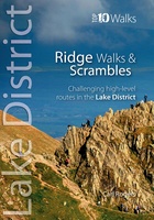 Wandelgids Lake District Ridge Walks & Scrambles | Northern Eye Books
The Lakeland Fells have some of the finest ridge walks in the country. Exploring these ridges offers fell walking at its most satisfying — staying high, taking in several summits …
 Wandelgids Tea Shop Walks | Northern Eye Books
A visit to a tea shop adds something special to a walk. It’s always a treat to sit down to coffee and cake at the end of an afternoon stroll …
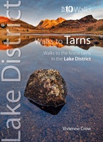 Wandelgids Walks to the Tarns in the Lake District | Northern Eye Books
This smashing little book features ten short circular walks to the loveliest tarns in the Lake District. Norsemen, who dominated Lakeland 1,000 years ago, called the small bodies of …
 Wandelgids Walks in West Cheshire and Wirral | Northern Eye Books
A Cheshire walking classic. With this book you’ll discover parts of Cheshire and Wirral you never knew existed. Ranging from 3-7 miles/5-11 kilometres in length, each of the walks …
 Wandelgids Best Pub Walks in Cheshire | Northern Eye Books
CHESHIRE IS WELL KNOWN for both its beautiful countryside and its country pubs. This fully revised and updated, 3rd edition of a classic guide book combines the two with superb …
 Wandelgids Pelgrim | Boekscout
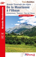 Wandelgids 0531 De la Maurienne à l'Ubaye - La Traversée des Alpes | FFRP
L'itinéraire part de Modane et la vallée de la Maurienne, le mont Thabor est aperçu avant de descendre sur Briançon et ses fortifications. La traversée se poursuit des Alpes du …
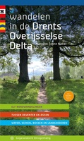 Wandelgids Wandelen in de Drents Overijsselse Delta | Gegarandeerd Onregelmatig
Routemaakster Marycke Janne Naber uit Zwolle ging op verkenning in het werkgebied van het waterschap Drents Overijsselse Delta. Tussen Deventer en Assen zette ze 11 prachtige wandelingen uit. Ze zwierf …
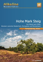 Wandelgids Hikeline Hohe Mark Steig | Esterbauer
The Hohe Mark Steig leads over a length of about 160 kilometres through the natural park of the same name and usually crosses the northeastern Lower Rhine, the northern Ruhr …
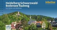 Wandelgids Bikeline Heidelberg-Schwarzwald-Bodensee-Radweg | Esterbauer
Im gebirgigen Südwesten Deutschlands bringt Sie der Heidelberg-Schwarzwald-Bodensee-Radweg auf einer Strecke von gut 300 Kilometern quer durch Baden-Württemberg. Die bestens beschilderte und steigungsreiche Route führt durch ruhige, oft ländlich geprägte …
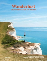 Reisinspiratieboek - Wandelgids Wanderlust - Groot-Brittannië en Ierland | Kosmos Uitgevers
 Wandelgids 16 Streekpad Veluwe Zwerfpad | Wandelnet
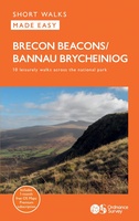 Wandelgids Brecon Beacons | Ordnance Survey
Get outside and enjoy ten short leisurely strolls across the Brecon Beacons National Park, indulging in wonderful mountain views across Southern Britain’s hilliest terrain. With routes for all abilities, enjoy …
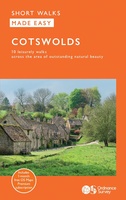 Wandelgids Cotswolds | Ordnance Survey
Explore ten easy-paced, family-friendly short walks across the Cotswolds Area of Outstanding Natural Beauty. Originating from a Saxon term meaning ‘wooded hollows, amid gentle hills’, the AONB straddles six counties, …
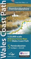 Wandelgids Pembrokeshire | Northern Eye Books
OS Map Books: Wales Coast Path: Pembrokeshire Coast Path Map Atlas | Ordnance Survey ‘Explorer’ Large-scale 1:25,000 maps for the Pembrokeshire Coast in compact book format | Pocket Atlas | …
 Wandelgids Wandelgids Veluwse beeklopen | KNNV Uitgeverij
Wandelgids Veluwse beeklopen bundelt achttien routes langs de Veluwse bekenstelsels. Van Hattem tot Renkum en van Barneveld tot Velp. Elke wandelroute is ongeveer 10 tot 15 kilometer lang. Terwijl je …
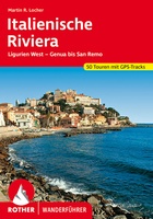 Wandelgids Italienische Riviera | Rother Bergverlag
Wandern an der italienischen Riviera ist ein einziger Genuss: Auf schmalen Pfaden geht es an der sanft geschwungenen, spektakulären Küste entlang, das Blau des Meeres immer im Blick. Die mediterrane …
 Wandelgids Essex | Pocket Mountains
Essex is full of surprises. Not only is it one of the largest counties in England by population and area, it is also home to Britain’s first city, several bustling …
 Wandelgids West Sussex | Pocket Mountains
From the city of Chichester with its ancient walls and harbour inlets standing sentinel over the English Channel to the northern heights of Black Down on its ridge of greensand …
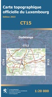 Wandelgids - Wandelkaart CT15 CT LUX Dudelange | Topografische dienst Luxemburg
Wandelkaart Dudelange - TD Luxemburg Productomschrijving: Een nieuwe reeks topografische wandelkaarten, wel duidelijk te verstaan, ZONDER toeristische informatie. De schaal van de kaart is op 1:20.000, dus nog dichter …
Laatste reviews

Prima koop
★★★★★ door Paul van Schelt 26 november 2024 | Heeft dit artikel gekocht
Het product wat ik van u heb ontvangen is prima !! maar voldoet niet geheel aan mijn verwachtingen want ik had een iets overzichtelijkere plattegrond …
★★★★★ door W. Breeschoten 26 november 2024 | Heeft dit artikel gekocht
De kaart NEPAL is netjes uitgevoerd en voldoet bijna aan mijn wensen : De plattegrond van KATHMANDU had ik liever iets uitvoeriger gezien en voorzien …
★★★★★ door Wout Breeschoten 26 november 2024 | Heeft dit artikel gekocht
Het is een mooi boekje, super handig. Beter dan de volwassen versie.
★★★★★ door Petra 26 november 2024 | Heeft dit artikel gekocht

