Wegenatlassen - Europa
 Wegenatlas Großer Alpenstraßenführer, 28. Ausgabe | Denzel Verlag
Das international bewährte Standardwerk für sportlich-touristisch eingestellte Auto- und Zweiradfahrer! Aus der Vielzahl anfahrbarer Hochpunkte innerhalb des weiten Alpenbogens von Wien bis Marseille wurden rund 700 der interessantesten Hochstraßen und …
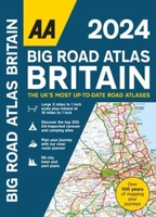 Wegenatlas Big Road Atlas Britain 2025 - A3 | Ringband | AA Publishing
This best-selling A3 format atlas is available in two binding styles; paperback and spiral bound. Up-to-date mapping from the experts at the AA this atlas has large 3 miles to …
★★★★★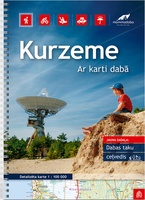 Wegenatlas Letland west - Kurzeme | Jana Seta
Bijzonder gedetailleerde wegenatlas van een deel van Letland. Uitvoering in ringband en op geplastificeerd papier. Inclusief stadplattegronden van Aizpute, Kandava, Kuldiga, Liepaja, Saldus, Talsi, Tukums en Ventspils. Jana Seta’s adventure atlases …
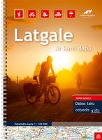 Wegenatlas Letland oost - Latgale | Jana Seta
Bijzonder gedetailleerde wegenatlas van een deel van Letland. Uitvoering in ringband en op geplastificeerd papier. Inclusief stadplattegronden van Balvi, Daugavpils, Kraslava, Livani, Ludza, Preili en Rezekne. Jana Seta’s adventure atlases in …
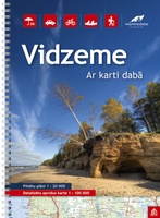 Wegenatlas Letland noord - Vidzeme | Jana Seta
Bijzonder gedetailleerde wegenatlas van een deel van Letland. Uitvoering in ringband en op geplastificeerd papier. Inclusief stadplattegronden van Aluksne, Cesis, Gulbene, Limbaži, Madona, Ogre, Sigulda, Valka, en Valmiera. Jana Seta’s …
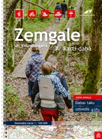 Wegenatlas Letland zuid Zemgale - Vidusdaugava | Jana Seta
Bijzonder gedetailleerde wegenatlas van een deel van Letland. Uitvoering in ringband en op geplastificeerd papier. Inclusief stadplattegronden van Aizkraukle, Auce, Bauska, Dobele. Iecava, Jekabplis, Jeglava, Lielvarde, Plavinas en Tukums. Jana …
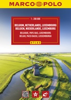 Wegenatlas België, Nederland, Luxemburg - Benelux | Marco Polo
Wegenatlas van Marco Polo voor Belgié, Nederland en Luxemburg Der MARCO POLO Reiseatlas zeichnet sich durch moderne Kartographie aus und bildet Belgien, die Niederlande und Luxemburg im optimalen Maßstab 1:200 …
★★★★★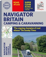 Wegenatlas Navigator Camping and Caravanning – Atlas of Britain | Philip's Maps
THE MUST-HAVE ATLAS OF BRITAIN FOR CAMPING, CARAVANNING AND MOTORHOMES'A map that beats all others' - The Daily Telegraph'Scale, accuracy and clarity are without parallel' - Driving Magazine'No. 1 in …
★★★★★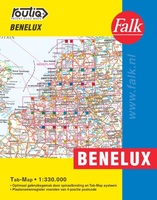 Wegenatlas Autokaart Benelux Tab Map | Falk
De meest gebruiksvriendelijke wegenkaart van de Benelux is ongetwijfeld de Falk Routiq Tab Map. De Routiq Tab Map bladen zijn in een handige ringband gebonden, waar je op de rechterzijde …
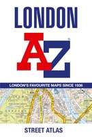 Wegenatlas - Stadsplattegrond London Street Atlas - Londen | A-Z Map Company
Handzame, maar behoorlijk dikke stadsatlas van Londen. Gebonden uitgave, maar toch redelijk makkelijk open ter klappen. Met register achterin. Zeer uitgebried met alle staten en steegjes. Centrumgedeelte met meer details …
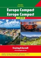 Wegenatlas Europa compact atlas | Freytag & Berndt
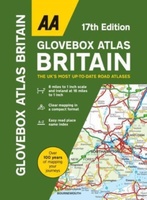 Wegenatlas AA Glovebox Atlas Britain | AA Publishing
This handy atlas fits in the glovebox of your car, perfect for quick referencing on the move. The clear mapping includes a range of essential motoring and useful touring information …
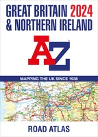 Wegenatlas Great Britain and Northern Ireland Road Atlas 2024 | A-Z Map Company
A full-colour, paperback road atlas of Great Britain, now fully revised and updated. Clear detailed road mapping at a scale of 3.5 miles to 1 inch. Presented in a large, …
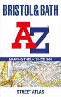 Wegenatlas - Stadsplattegrond Bristol and Bath Streetatlas | A-Z Map Company
Navigate your way around Bristol and Bath with this detailed and easy-to-use A-Z Street Atlas. Printed in full-colour, paperback format, this atlas contains 104 pages of continuous street mapping. More …
★★★★★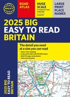 Wegenatlas Philip's Easy to Read Road Atlas of Britain 2025 | A3-Formaat | Paperback | Philip's Maps
With the detail you need at a size you can read, the latest edition of 2025 Philip's Big Easy to Read Road Atlas of Britain is super-clear, super-sized and bang …
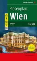 Stadsplattegrond - Wegenatlas Wien - Wenen atlas | Freytag & Berndt
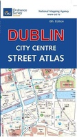 Wegenatlas Discovery Dublin city center atlas pocket | Ordnance Survey Ireland
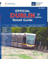 Wegenatlas Dublin official city & district street guide spiral | Ordnance Survey Ireland
Navigate your way around Dublin with confidence with the Official Dublin City & District Street Guide. Find your way around Ireland’s vibrant, historic capital with an enlarged city centre map …
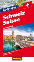 Wegenatlas Zwitserland touring atlas | Hallwag
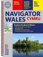 Wegenatlas Wales Navigator | A4 | Ringband | Philip's Maps
Ideaal voor fietsers! Explore the many attractions of Wales with this easy-to-use road atlas showing all the top spots. Easy-to-read mapping, superb extra detail, and a great lie-flat format make …
Laatste reviews

Mooie landkaart en snel bezorgd
★★★★★ door Rene van Paasen 16 december 2024 | Heeft dit artikel gekocht
Als er één ding is waardoor de Blue Guides bekendheid genieten, dan is het wel de vele aandacht voor cultuur. Zo ook deze. Ik krijg …
★★★★★ door Christine Grit 13 december 2024 | Heeft dit artikel gekocht
De coördinaten op de kaart zijn onbruikbaar. Je kan deze niet gebruiken met een kaarthoekmeter. Er is geen getekende grid voor de coördinaten. Kaart is …
★★★★★ door Robin 13 december 2024 | Heeft dit artikel gekocht
De coördinaten op de kaart zijn onbruikbaar. Je kan deze niet gebruiken met een kaarthoekmeter. Er is geen getekende grid voor de coördinaten. Kaart is …
★★★★★ door Robin 13 december 2024 | Heeft dit artikel gekocht

