Schotland
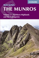 Wandelgids 2 Walking The Munros vol. 2 | Cicerone
Uitstekende wandelgids van het noorden van de Schotse Hooglanden en Cairngorms. Goed beschreven met veel praktische informatie om de route te kunnen lopen, inclusief redelijke kaarten. Volume two of Walking …
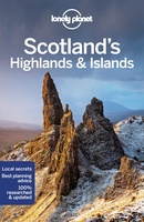 Reisgids Scotlands Highlands and Islands | Lonely Planet
De perfecte reisgids voor zowel de georganiseerde als de zelfstandige reiziger. Naast een algemene inleiding van het land / streek vol met praktische informatie over hoe je er het beste …
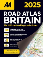 Wegenatlas Road Atlas Britain 2025 - A4 | AA Publishing
Wegenatlas, met spiraal, van Groot-Brittannie, Engeland, Wales en Schotland, met toeristische informatie This top-selling road atlas showcases Britain’s clearest mapping from the experts at the AA at a large 3.2 …
★★★★★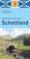 Campergids 33 Mit dem Wohnmobil nach Schottland - Camper Schotland | WOMO verlag
Bijzonder nuttige camperreisgids van een bepaald land of streek. Deze Duitstalige campergids beschrijft aan de hand van een aantal routes de mooiste gebieden. Naast een beschrijving van de routes zelf …
★★★★★★★★★★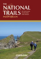 Wandelgids the National Trails - Great British Walks - Engeland, Wales en Schotland | Cicerone
Guidebook to Britain's National Trails - 19 long-distance walking routes through England, Wales and Scotland, describing what makes each of them so special and providing the practical information to help …
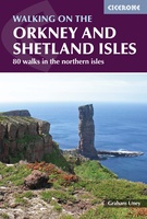 Wandelgids Walking guide to the Orkney and Shetland Isles | Cicerone
Uitstekende wandelgids van dit geweldige gebied. goed beschreven met veel praktische informatie om de route te kunnen lopen, inclusief redelijke kaarten. A guidebook to 80 walking routes on Scotland's Northern …
★★★★★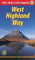 Wandelgids West Highland Way | Rucksack Readers
Uitgevoerd in de vorm van een klapper, met ringband geeft deze gids een goede beschrijving van de lange afstands route. De kaarten zijn schetsmatig maar wel duidelijk. The West Highland …
★★★★★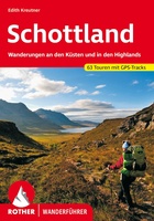 Wandelgids Schottland - Schotland | Rother Bergverlag
Uitstekende wandelgids met een groot aantal dagtochten in dal en hooggebergte. Met praktische informatie en beperkt kaartmateriaal! Wandelingen in verschillende zwaarte weergegeven in rood/blauw/zwart Schottland ist bekannt für seine atemberaubenden …
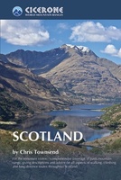 Wandelgids Scotland | Cicerone
Als je wilt wandelen in Schotland is dit het ultieme naslagwerk. A resource book covering the finest walks and climbs in Scotland, with its variety of wild landscapes ranging from …
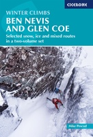 Klimgids - Klettersteiggids Winter Climbs Ben Nevis and Glencoe - Scotland | Cicerone
Ben Nevis and Glen Coe remain at the forefront of Scottish winter climbing and hold their place on the world stage of climbing. The classic climbs are highly regarded objectives. …
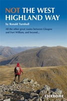 Wandelgids NOT the west Highland Way | Cicerone
The West Highland Way from Glasgow to Fort William is one of the finest UK long distance paths, but it runs close to a busy main road and avoids the …
★★★★★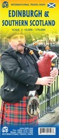 Wegenkaart - landkaart - Stadsplattegrond Edinburgh & Southern Scotland | ITMB
Plattegrond van Edinburgh, schaal 1:10.000, met op de achterzijde een overzichtskaart van zuid Schotland, schaal 1:370.000. Legend Includes: Roads by classification, Airports, Ferry lines, Railways, Railway stations, Bus terminals, Bicycle …
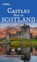 Wegenkaart - landkaart Castles map of Scotland - Schotland kastelen | Collins
Kaart waarop meer dan 700 kastelen in Schotland staan aangegeven. Discover Scotland's ancient monuments and castles. Explore Scotland’s ancient monuments with this pictorial map featuring over 700 castles and fortified …
★★★★★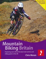 Mountainbikegids Handbook Mountain Biking Britain ( Engeland - Schotland) | Footprint
Experienced Footprint author Chris Moran (co-author of Mountain Biking Europe and Snowboarding the World) brings you the fully revised & updated guide to mountain bike riding in Britain. Mountain Biking …
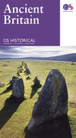 Wegenkaart - landkaart Ancient Britain | Ordnance Survey
The Ordnance Survey Ancient Britain map is a comprehensive guide to the most important archaeological sites of early English, Welsh and Scottish history. Ordnance Survey's Ancient Britain map shows Neolithic, …
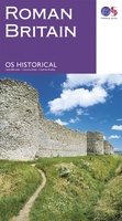 Wegenkaart - landkaart Roman Britain | Ordnance Survey
An informative map showing the location of the most important ancient monuments of Roman Britain. The map has been produced by Ordnance Survey in collaboration with the Ancient Monument Trusts …
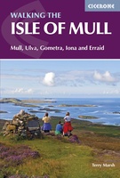 Wandelgids Isle of Mull | Cicerone
Uitstekende wandelgids voor dit uitdagende wandelgebied in Schotland. Met goede topografische deelkaarten. Guidebook describing over 40 walking routes on Scotland's beautiful Isle of Mull, as well as neighbouring Ulva, Gometra, …
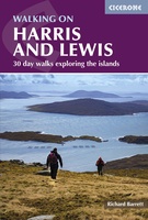 Wandelgids Harris and Lewis – Outer Hebrides, Hebriden Schotland | Cicerone
Uitstekende wandelgids van dit geweldige gebied. goed beschreven met veel praktische informatie om de route te kunnen lopen, inclusief goede kaarten. This guidebook describes 30 day walks all over the …
★★★★★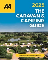 Campinggids The Caravan & Camping Guide Britain 2025 | AA Publishing
Uitgebreide gids met campings om met de tent of de caravan naar toe te gaan. 580 campings in Engeland, Schotland, Noord-Ierland, Wales, Kanaaleilanden, Isle of Man en de Schotse eilanden. …
★★★★★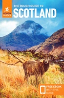 Reisgids Scotland - Schotland | Rough Guides
Zeer goede reisgids voor zowel de georganiseerde maar vooral voor de zelfstandige reiziger. Boordevol informatie over reizen, slapen, eten, maar ook musea en cultuur. Voor Europese landen - zeker de …
★★★★★
Laatste reviews

Kan de huidige ontstuimige ontwikkelingen wereldwijd, nu ook geografisch plaatsen en daarmee beter volgen.
★★★★★ door Leo Janssen 20 december 2024 | Heeft dit artikel gekocht
We hadden Piëmonte al eens bezocht en voor onze komende reis werd ons door kennissen deze gids aanbevolen. Inderdaad is dit een heel goede gids. …
★★★★★ door DWKdB 19 december 2024 | Heeft dit artikel gekocht
Mijn bestellingen zijn altijd goed en worden altijd op tijd geleverd. Komen afspraken goed na. Erg tevreden.
★★★★★ door Ben Wegdam 19 december 2024 | Heeft dit artikel gekocht
Zeer gedetailleerde kaart van het zuidelijke deel van het douaniers pad
★★★★★ door Marian 18 december 2024 | Heeft dit artikel gekocht